What is recorded here
In rolling grassland. Subcircular cashel (39.3m NE-SW; 36.3m NW-SE), in fair condition, defined by a drystone wall. Land-clearance operations have damaged the monument at SE and SW. A possible Man-made underground passage (GA096-060001-) is associated. (Westropp 1919, 181; Cody 1989, 247-8, no. 75).
Compiled by: Galway Archaeological Survey, UCG
Date of upload: 24 November 2017
The monument record does not grant public access. Check the route and ask the landowner before entering private land.
- What survives
- Recorded monument
Places near here
 ToberconnellyHoly well · 417 yd
 IndicatedEnclosure · 530 yd
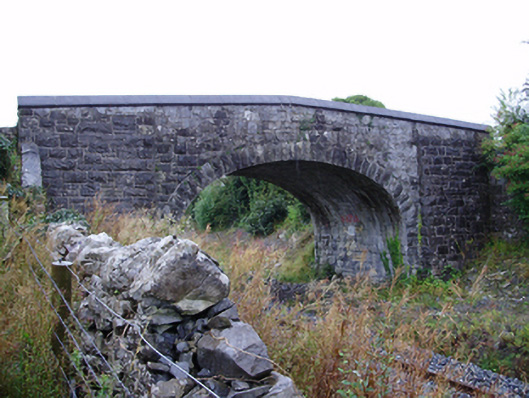 Farranablake Bridgebridge · 690 yd
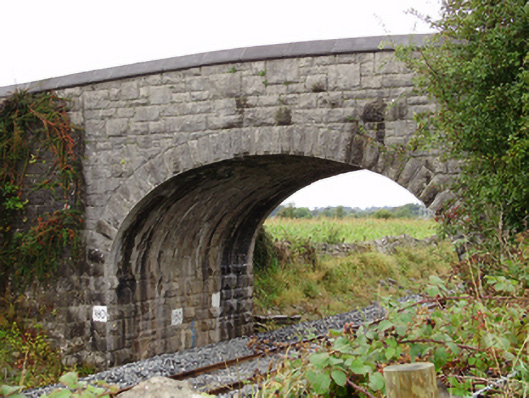 Rockfield Bridgebridge · 749 yd
 Athenry AbbeyHeritage attraction · 1.5 mi
 Athenry CastleHeritage attraction · 1.6 mi
 Castle or King Johns Court (in ruins)Castle, Anglo-Norman masonry castle · 1.6 mi
 Moyard WoodWood · 1.7 mi
 Horse-chestnutHorse-chestnut · 1.8 mi
 Moyode CastleCastle · 2.3 miFirst Battle of Athenrybattle · 2.3 mi
 Enclosure in BottomEnclosure · 678 yd