What is recorded here
Indicated is a fairy fort on a steep Mayo hill, its earthen bank still standing beside modern field walls while Croagh Patrick watches from the south. The circular enclosure slopes inward toward wet rushes, inviting speculation about people who watched weather, kept livestock or avoided the fairies altogether. Its broken edges and unusual shape suggest adaptation rather than abandonment, as if the hill itself kept adjusting the boundary between human use and older claim.
In pasture, located on top of a steep hill, which provides good views in all directions, with Croagh Patrick visible to S, Clew Bay to W and the Nephin Beg Range to N.
This rath consists of a roughly circular area (23.5m E-W; 24.5m NW-SE) defined by an earthen bank (Wth 5m; int. H 1m at NW). The bank is low, broad and well preserved at E-NNW; at NNW-E it has been modified to serve as part of a modern field bank The interior slopes down slightly from the perimeter toward the centre, which is wet and rush-grown. There are breaks in he bank at ESE and W, but it is unclear if either represents an original entrance. Remnants of a field bank skirts the rath at SW-NNW.
Compiled by: Jane O'Shaughnessy
Date of upload: 31 January 2018
The monument record does not grant public access. Check the route and ask the landowner before entering private land.
- What survives
- Recorded monument
Places near here
 Carrigeenglass NorthIslet · 959 yd
 InishnakillewIslet · 1116 yd
 Roscahill PointHeadland · 1123 yd
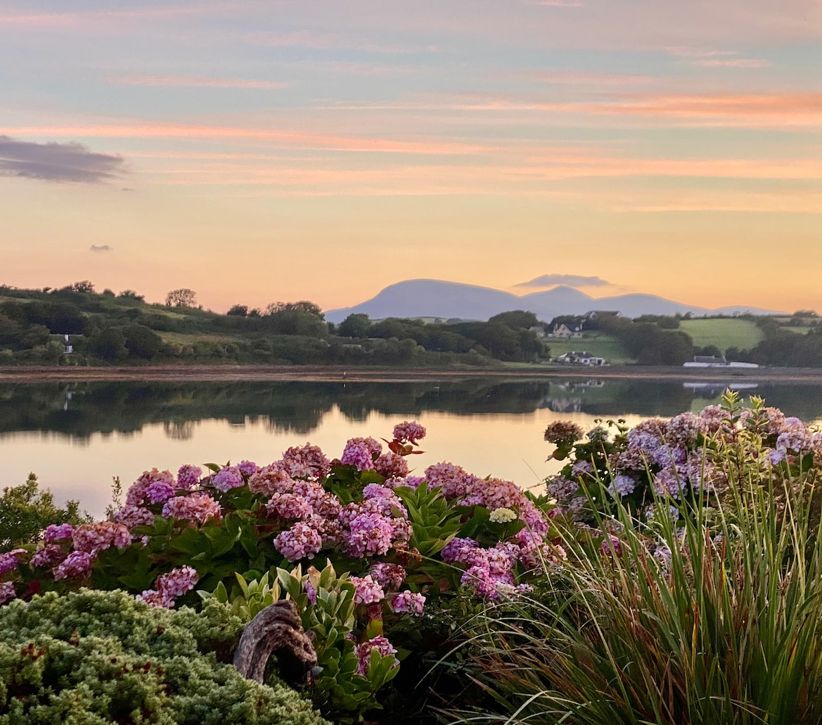 IndicatedEnclosure · 1320 yd
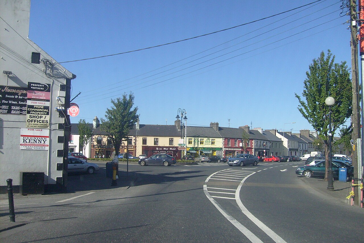 Caslte LeaffyCastle · 1458 yd
 Ross PointHeadland · 1534 yd
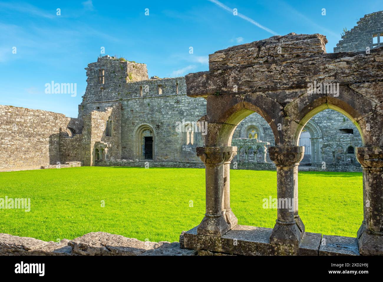 Enclosure in RassakeeranEnclosure · 1.0 mi
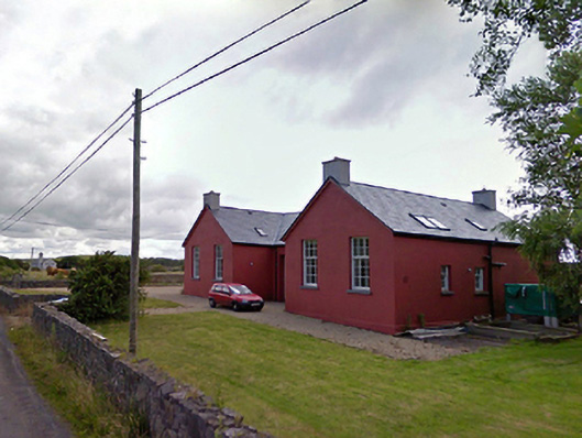 Saint Brendan's National Schoolschool · 1.3 mi
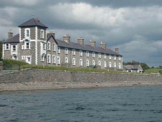 Rosmoney Coastguard Stationcoastguard station · 1.4 mi
 Site of Bawn CastleCastle, unclassified · 2.5 mi
 Barrett's HillMountain / peak · 3.3 mi
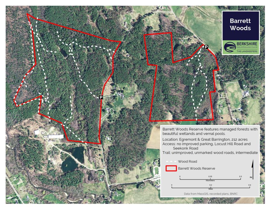 Barrett's WoodWood · 3.4 mi