What is recorded here
Situated on top of a drumlin overlooking Bishops Lough to the NE. It is depicted as an oval wood on the 1834 and 1907 editions of the OS 6-inch map. This is an oval domed area (max. dims c. 85m NNW-SSE; c. 50m ENE-WSW) of deciduous woodland defined by the scarped edge of the hill with a slight lip, which is most marked (Wth c. 3m; int. H c. 0.6m; ext. H 2m) at SE. There is no visible fosse or drain, or recognisable entrance. There is a local tradition that it is a fort, but it is probably a landscape feature.
revised by: Michael Moore
Date of revised upload: 30 January 2018
The monument record does not grant public access. Check the route and ask the landowner before entering private land.
- What survives
- Recorded monument
Places near here
 IndicatedCrannog · 293 yd
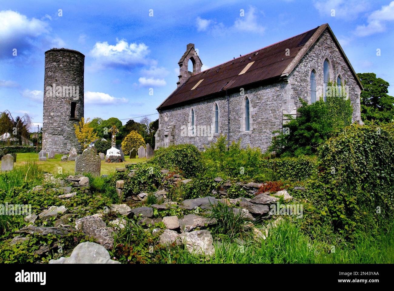 Man-made underground passage in AnnaghkillyMan-made underground passage · 729 yd
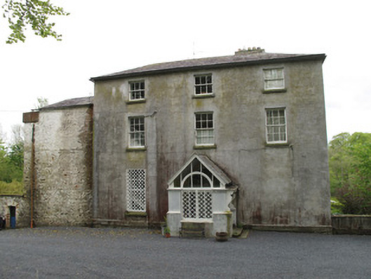 Bishops Courtcountry house · 970 yd
 Church in AnnaghkillyChurch · 1071 yd
 Saint John's WellSpring · 1131 yd
 KillycoonaghWood · 1475 yd
 Common LimeCommon Lime · 1627 yd
 Bawn in CrossmoyleBawn · 1.3 mi
 Abbey RuinsHeritage attraction · 1.4 mi
 The Cassandra Hand CentreMuseum · 1.4 mi
 CastleCastle, motte and bailey · 1.5 mi
 Jaundice WellSpring · 2.6 mi