What is recorded here
Five meters N of the E end of the extended church (RO006-006001-) is a small saints shrine visible as a masonry structure (ext. dims 4.75m E-W; 2.45m N-S) surviving as foundations with a round-headed window embrasure (Wth 0.3m; H 0.85m) in the W gable. The doorway was at the W end of the S wall. Excavation in the interior (King 2002; 2004) recovered the remains of a complete inhumation and fragments of at least five others. A small stoup and a spud stone were also recovered, but there was no evidence of the roofing. Carbon 14 determinations between AD 1021-1216 to 2 sigma calibration were obtained from the burial. (King 2007)
This is a National Monument in state guardianship: No. 557
Compiled by: Michael Moore
Date of upload: 24 August 2010
The monument record does not grant public access. Check the route and ask the landowner before entering private land.
- What survives
- Recorded monument
Places near here
 Inchmacnerin Abbey (in Ruins)Religious house, Augustinian canons · 12 yd
 Church IslandIslet · 26 yd
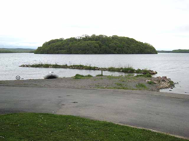 Hog's IslandIslet · 527 yd
 CashelsharkettFairy fort / stone ringfort · 685 yd
 AbbeyReligious house, Premonstratensian canons · 787 yd
 Erris BayBay · 1380 yd
 Concentric enclosure in SmutternaghConcentric enclosure · 1.1 mi
 Western RedcedarWestern Redcedar · 1.1 mi
 Horse-chestnutHorse-chestnut · 1.2 mi
 Lough Key Forest ParkWood · 1.3 mi
 Longford HillMountain / peak · 1.7 mi
 Boyle AbbeyHeritage attraction · 2.1 mi