What is recorded here
Reported (5-10-2021) by Mr Aidan Harte, Project Co-ordinator, Leitrim Sweathouse Project. On the crest of a low, N-S pasture ridge c.90m E of the S-flowing Eslin River. Not recorded by the OS. A low (H 0.7m) grass-covered circular area (diam. 12m) is defined by large stones. The landowner recalled that, in snow, a straight line is visible extending NE from the monument.
An entry in the Schools Manuscripts Collection (Vol. 0215, p. 244) records: ‘In the town-land of Cavan there is a mound or a Cairn and it is believed that there are either treasures or urn's containing human remains buried there.’
See attached images: LE032-113----_1 Snip from digitalglobe aerial imagery (scale: 1:1000, accessed 15-9-2022) and LE032-113----_2 View from S along the E edge of monument on 10/08/2021.
Compiled by: Gearóid Conroy
Date of upload: 3 November 2022
Portal dolmen; likely dates to the Early Bronze Age. Its presence indicates a prehistoric funerary tradition in the region, though its specific cultural or ritual significance remains undocumented.
The monument record does not grant public access. Check the route and ask the landowner before entering private land.
- What survives
- Recorded monument
Places near here
 Sweathouse in Cavan (mohill By.)Sweathouse · 302 yd
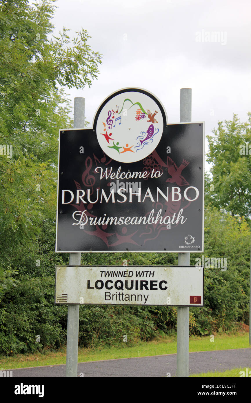 Not idicatedEnclosure · 1500 yd
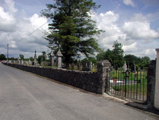 graveyard/cemeterygraveyard/cemetery · 2.1 mi
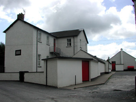 Saint Joseph's National Schoolschool · 2.1 mi
 Turlough O'Carolan MonumentHeritage attraction · 2.4 mi
 Tom Dunphy MemorialMemorial · 3.1 mi
 Declaration of IndependenceMemorial · 3.6 mi
 Wildlife AreaNature reserve · 3.7 mi
 TuliptreeTuliptree · 4.0 mi
 Little IslandIslet · 4.1 mi
 Duck IslandIslet · 4.1 mi
 CastleCastle, tower house · 4.2 mi