What is recorded here
Prominently sited c. 60m W of a hill summit with panoramic views in all directions except E. A low, circular, grass-covered, earthen mound (diam 17m; H 1.5m at E-2m at N) has a large central depression (av. diam. 3m) which may be the result of modern disturbance, or might be the remains of a collapsed central chamber. A small earthfast boulder (visible dims. L 0.6m; H 0.5m) at the mound's base at N may be a kerb stone, while a second similar stone, just W of the mound's base at W may be a displaced kerbstone. Low whin-cover is starting to establish on the mound SW-WNW.
Compiled by: Gearóid Conroy
Date of upload: 10 June 2011
Neolithic passage tomb; dates to the 4th–3rd millennium BCE. Its prominent location and central depression suggest it was a significant ritual or burial site, offering symbolic and strategic visibility in the landscape.
The monument record does not grant public access. Check the route and ask the landowner before entering private land.
- What survives
- Recorded monument
Places near here
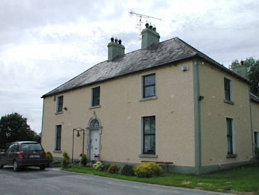 Catholic Church of Our Lady of Mercypresbytery/parochial/curate's house · 1.1 mi
 MoatEnclosure · 1.2 mi
 Enclosure in TinodeEnclosure · 1.4 mi
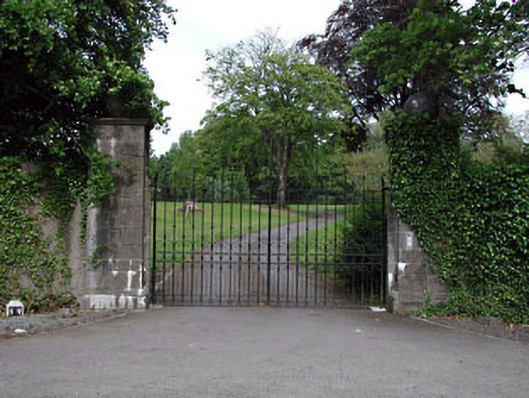 Rathmore Housegates/railings/walls · 1.6 mi
 Rathmore MoatCastle, motte and bailey · 1.7 mi
 Kilteel CastleCastle, tower house · 2.0 mi
 Deer Park PlantationForest · 2.0 mi
 Blessington DemesneWood · 2.0 mi
 Cupidstown HillMountain / peak · 2.1 mi
 The Square RenewalMemorial · 2.3 mi
 Dame Ninette de ValoisMemorial · 2.3 mi
 Saggart HillMountain / peak · 3.6 mi