What is recorded here
Indicated, Castletown is a ruined bawn and castle on a low rock rise in County Tipperary, preserving a long rectangular house, a circular limestone wall, and a possible causewayed entrance. It straddles tower house and fortified house traditions, suggesting a place where domestic life and defence were built together rather than separated. The surviving garderobe tower, offset wall face, and broken angle tower point to a busy residence where people lived, watched the pasture, and adapted the structure as needs changed.
Situated on a low rise of natural rock outcrop on flat pasture in undulating countryside. The poorly preserved remains of a long rectangular building (TN008-013001) surviving two storeys high but originally three with a corner garderobe tower at the SE angle and a destroyed SW angle tower. Enclosing the castle are the remains of a circular bawn wall (dims. 50m N-S; wall T 0.8m; H 2m) constructed with roughly coursed limestone rubble which is best preserved at S. At N the bawn wall is incorporated as part of the field boundary. Only the wall-footings survive at NW and NE. An offset which is evident halfway up the height of the internal face of the bawn wall may have been used to carry a wooden platform. There is slight evidence of an infilled fosse enclosing the base of the bawn with a possible causewayed gap (Wth 3m) at SW indicating a possible original entrance. The unusual plan, though obscured by poor survival, appears to be transitional, straddling both tower house and fortified house tradition
The above description is derived from 'The Archaeological Inventory of County Tipperary. Vol. 1 - North Tipperary' compiled by Jean Farrelly and Caimin O'Brien (Dublin: Stationery Office, 2002). In certain instances the entries have been revised and updated in the light of recent research.
Date of upload/revision: 22 September 2008
The monument record does not grant public access. Check the route and ask the landowner before entering private land.
- What survives
- Recorded monument
Places near here
 Castle (in ruins)Castle, tower house · 19 yd
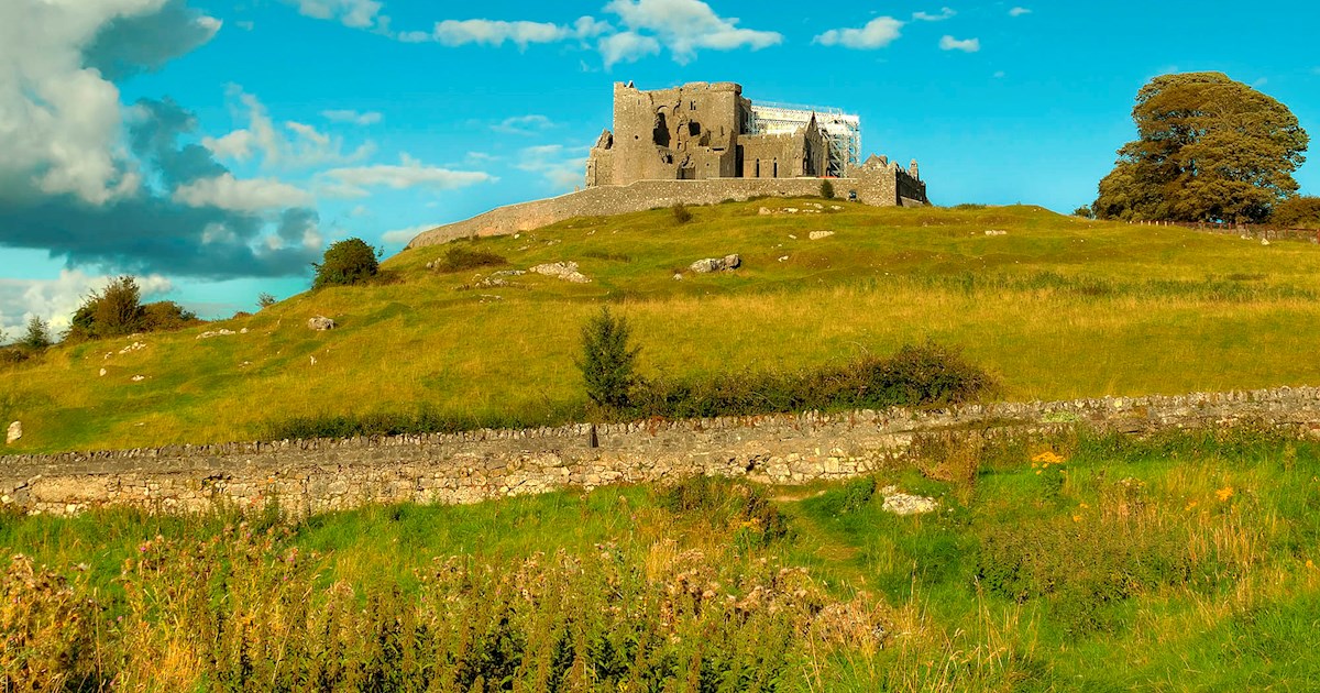 IndicatedFairy fort / earthen ringfort · 1175 yd
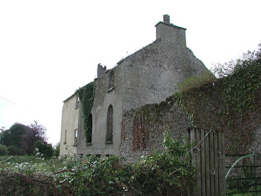 Carrig Housemiller's house · 1402 yd
 Catholic Church of the Annunciationchurch/chapel · 1538 yd
 Windmill (in ruins)Windmill · 1676 yd
 Carrig Castle (in ruins)Castle, unclassified · 1688 yd
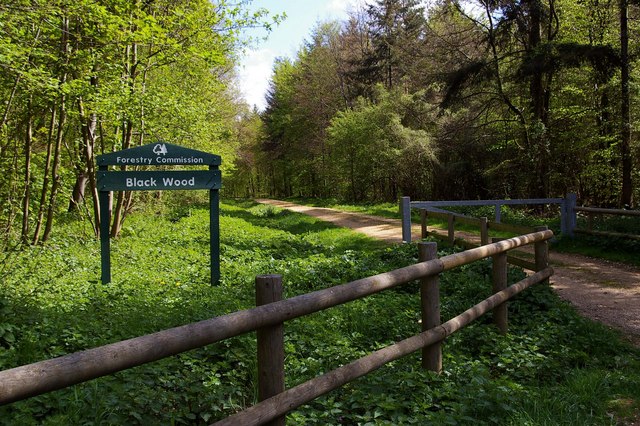 Black WoodForest · 1.5 mi
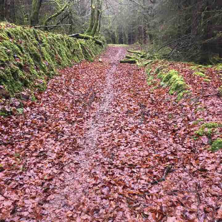 Killeen WoodWood · 1.8 mi
 Waterfall PointViewpoint · 2.9 mi
 The Great Telescope 'Leviathan'Heritage attraction · 3.0 mi
 Birr Castlemachinery · 3.1 mi
 James Franklin FullerMemorial · 3.1 mi