
What is recorded here
Indicated is a lost oval enclosure in County Cavan, pictured on maps from 1836 and 1876 before road building cut through its south and north sides. The destruction did not erase every trace because the outline remains visible elsewhere despite leveling. That much of the boundary still resists forgetting turns the site into a quiet lesson about how easily human knowledge can be damaged, yet never fully removed.
Depicted as a small oval enclosure on OS 1836 and 1876 eds. Destroyed from SE-S-NNW as a result of road building. Elsewhere site outline is still clearly identifiable despite having been levelled.
The above description is derived from the published 'Archaeological Inventory of County Cavan' (Dublin: Stationery Office, 1995). In certain instances the entries have been revised and updated in the light of recent research.
Date of upload/revision: 22 December 2008
The monument record does not grant public access. Check the route and ask the landowner before entering private land.
- What survives
- Recorded monument
Places near here
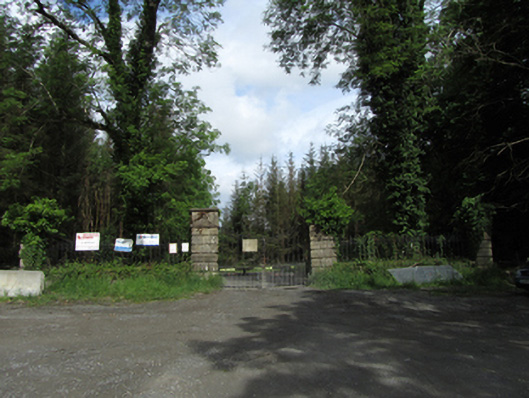 Castle Saundersondemesne walls/gates/railings · 513 yd
 Castle Saunderson DemesneForest · 1061 yd
 Rabbit WarrenWood · 1140 yd
 ClonandraMountain / peak · 1368 yd
 Bawn in KillyfanaBawn · 1694 yd
 HOLY WELL in DrummullyHOLY WELL · 1.3 mi
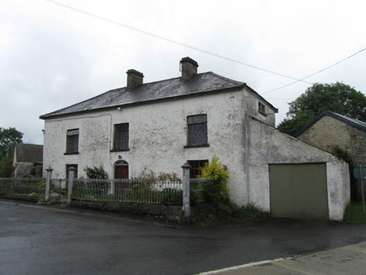 coaching inncoaching inn · 1.3 mi
 DrumakeenanMountain / peak · 1.7 mi
 RuinsHouse, fortified house · 1.7 mi
 Worm Ditch or Black Pigs RaceArchaeological place · 1.8 mi
 Belturbet Heritage Railway Station MuseumMuseum · 3.9 mi
 Welcome to Belturbet StationVisitor information · 3.9 mi
Other information
Photo: Credit not shown in the picture search · Rights wording not checked; contact us if this picture should be removed