What is recorded here
On an E-facing slope in an undulating landscape. The grass-covered foundations of a rectangular masonry structure (ext. dims 13.7m N-S; c. 7.9m E-W) whose walls (T 0.7m) are encased in cairn material are visible. This structure contains some grave-markers of the children's burial ground (RO051-034001-) and has an entrance (Wth 1.75m) towards the S end of the W wall. The structure is within a D-shaped scrub-covered enclosure (RO051-034002-).
Compiled by: Michael Moore
Date of upload: 24 August 2010
The monument record does not grant public access. Check the route and ask the landowner before entering private land.
- What survives
- Recorded monument
Places near here
 IndicatedEnclosure · 4 yd
 Embanked enclosureFairy fort / earthen ringfort · 206 yd
 CastlesampsonCastle, tower house · 1357 yd
 Church (in Ruins)Church · 1.3 mi
 Sheep HillMountain / peak · 1.8 mi
 Corn MillMill, unclassified · 2.0 mi
 Killeglan CastleCastle, unclassified · 2.7 mi
 Clooncoran IslandIsland · 5.9 mi
 Bally BayBay · 6.4 mi
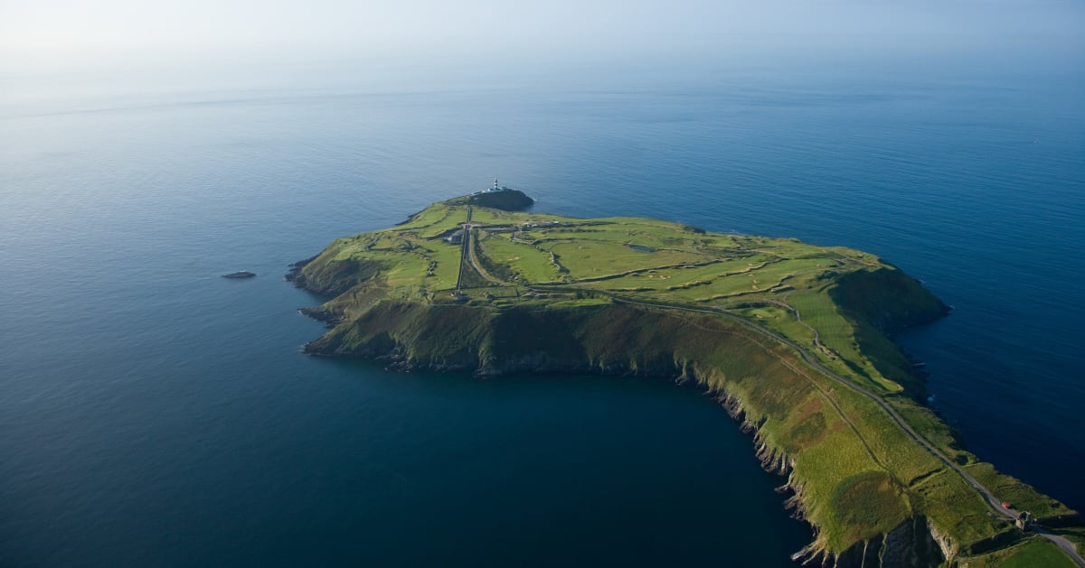 Sedgy IslandIslet · 6.6 mi
 LismoneyForest · 7.5 mi
 Split HillMountain / peak · 8.3 mi