What is recorded here
Indicated is a circular earthen fort in County Mayo, Ireland, still visible beside wet pasture and dotted drumlin knolls. Dense blackthorn and brambles now choke its interior, while a shallow ditch and low outer bank mark the edge of a place people shaped long before maps named it. The fording, hiding and living details have faded, but the ring remains clear enough to imagine inside.
In pasture, straddling the E side of a low rise in rolling terrain dotted with drumlin-like knolls. Immediately to W there is an expanse of lowlying wet pasture. There is a canalised stream/drain 30m to S. Views are good generally, somewhat restricted to N by gently rising ground.
This rath is named ‘Cloonaspick Fort’ on the 1838 and 1922 OS 6-inch maps. It consists of a circular area (estimated diam. c. 30m) defined by an earthen bank/scarp (H 0.4m at NNW; 0.7-0.8m at SE, 1.2m at W), outside which is a fosse (Wth 2m) with an external bank (Wth 3.5m; int. H 1m; ext. H 0.1m at W). Dense blackthorn bushes have colonised the interior, and an almost impenetrable ring of blackthorn, brambles and ash trees grow on the perimeter. Where the inner bank/scarp can be accessed, it appears to be well defined, retaining a slight internal lip at SE. The fosse survives as a distinct depression on the W half, but at E is merely a level gap between the two banks. The external bank is evident as a low, sod-covered rise topped with stone in parts, rather degraded at NE, with several eroded gaps.
Compiled by: Jane O’Shaughnessy
Date of upload: 6 December 2018
The monument record does not grant public access. Check the route and ask the landowner before entering private land.
- What survives
- Recorded monument
Places near here
 Enclosure in Castlereagh (tirawley By.)Enclosure · 354 yd
 KnockmoreEnclosure · 637 yd
 Castlereaghwalled garden · 694 yd
 Castle (in Ruins)Castle, tower house · 1127 yd
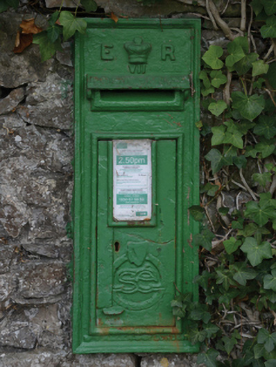 post boxpost box · 1128 yd
 Battle of Killalabattle · 1.5 mi
 CastleCastle, unclassified · 1.5 mi
 Green IslandIslet · 1.8 mi
 Rinnaun PointHeadland · 2.1 mi
 Battlefields of MoyneBattlefield · 2.9 mi
 TrabaunBeach / strand · 3.3 mi
 Moyne AbbeyHeritage attraction · 3.4 mi