What is recorded here
Situated on a slight rise above a N-S section of the WNW-ESE Castlejordan River, which is c. 180m to the E. There is no trace of the medieval parish church of Castlejordan (ME052-003----) in the subrectangular graveyard (dims c. 60m E-W; c. 40m N-S at E to c. 70m N-S at W) defined by masonry walls on every side except the W where there is a wide moat (Wth of top c. 6-8m; D 2-3m) that is part of a WNW-ESE mill-race. The headstones date mostly from c. 1775 to 1914, but the 16th century headstone of Francis Digbie (ME052-003002-) is close to the perimeter at E.
Compiled by: Michael Moore
Date of upload: 13 April, 2015
This remains an important historical record, but the official description says the monument is no longer visible or has been destroyed. The monument record does not grant public access. Check the route and ask the landowner before entering private land.
- What survives
- No visible remains or recorded as destroyed
Places near here
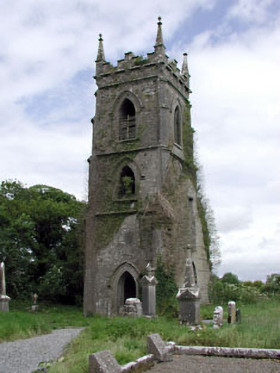 Castlejordan Churchchurch/chapel · 20 yd
 CastleCastle, tower house · 122 yd
 Castle JordanArchaeological place · 146 yd
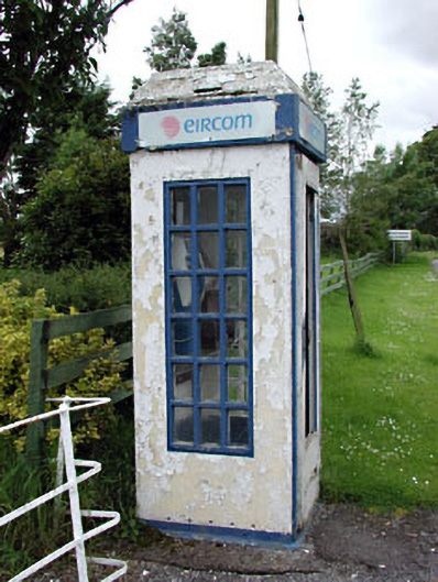 telephone boxtelephone box · 161 yd
 Enclosure in KillowenEnclosure · 1514 yd
 Enclosure in StonehouseEnclosure · 1.2 mi
 Roundhill WoodForest · 2.0 mi
 Rahin WoodsForest · 2.8 mi
 Moat HillMountain / peak · 3.5 mi
 Knockdrin HillMountain / peak · 4.8 mi
 Croppies' GraveMemorial · 5.5 mi
 Sli na Slainte - mapVisitor information · 9.6 mi