
What is recorded here
Situated in the valley of the Castlejordan River with a NNE-SSW section of the stream c. 50m to the SE. Extending WSW from the fortified house (ME052-004----) is a bawn wall (L c. 40m; T 1.2m; H c. 4m), overgrown with ivy and with some breaks, probably where dressed stone has been removed from embrasures. The tower house (ME052-005----) is c. 60m to the SW of the fortified house and may have occupied the SW angle of the bawn, but no traces of the bawn wall are associated with it and a later walled garden (dims c. 75m ENE-WSW; c. 35m NNW-SSE) occupies much of the area of the bawn.
Compiled by: Michael Moore
Date of upload: 16 August, 2016
A local castle; wider significance not recorded.
This remains an important historical record, but the official description says the monument is no longer visible or has been destroyed. The monument record does not grant public access. Check the route and ask the landowner before entering private land.
- What survives
- No visible remains or recorded as destroyed
Places near here
 Castle JordanArchaeological place · 29 yd
 CastleCastle, tower house · 46 yd
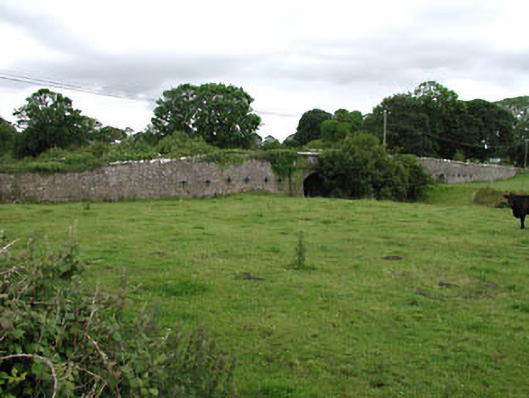 Castlejordan Bridgebridge · 100 yd
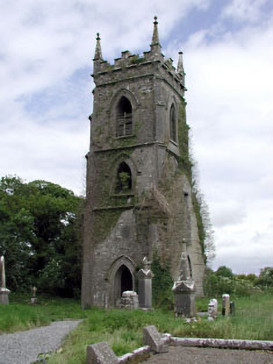 Castlejordan Churchchurch/chapel · 154 yd
 Enclosure in KillowenEnclosure · 1612 yd
 Enclosure in StonehouseEnclosure · 1.3 mi
 Roundhill WoodForest · 1.9 mi
 Rahin WoodsForest · 2.7 mi
 Moat HillMountain / peak · 3.6 mi
 Knockdrin HillMountain / peak · 4.8 mi
 Croppies' GraveMemorial · 5.5 mi
 Sli na Slainte - mapVisitor information · 9.6 mi
Other information
Photo: Credit not shown in the picture search · Rights wording not checked; contact us if this picture should be removed