What is recorded here
A watermill is listed in inquisitions of 1584 and 1611 (Connellan 1962-3, 4). A millrace departed from the River Suck just W of the point where the W-E section of the river turns S. It ran S (L c. 200m) at the base of the bluff on which the fortified houses (RO039-061001-; RO039-061002-) were built. It was widened in the 18th century and survives (Wth c. 5m) revetted with stone walls where it passes Castlecoote House (L c. 40m), but defined by an eathen bank (Wth 5m; H 1.5m) on the E side futher S. The mill would have been in Casltecoote village where the it was developed further in the 18th century and no evidence of an early structure survives. The widened millrace could have destroyed the most westerly arch of the bridge (RO039-061003-), and truncated the W side of the spherical chamber of the ice-house (RO039-0611-).
Compiled by: Michael Moore
Date of upload: 24 August 2010
The monument record does not grant public access. Check the route and ask the landowner before entering private land.
- What survives
- Recorded monument
Places near here
 IndicatedHouse, fortified house · 34 yd
 Castlecoote Housecountry house · 72 yd
 European YewEuropean Yew · 90 yd
 European ashEuropean ash · 145 yd
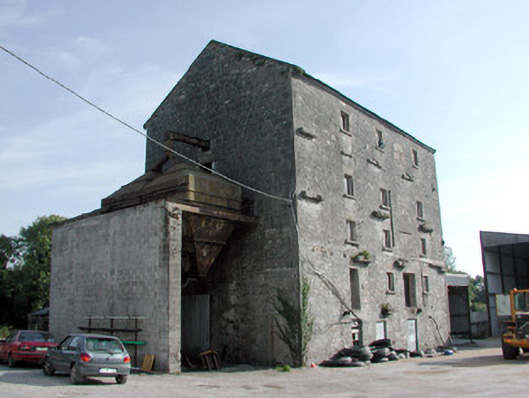 mill (water)mill (water) · 259 yd
 CastleCastle, unclassified · 1.0 mi
 Diarmad and Grainne's BedArchaeological place · 1.1 mi
 Field system in Ballinlig (athlone North By., Fuerty Ed)Field system · 1.3 mi
 Sally IslandIslet · 3.4 mi
 Roscommon CastleCastle · 4.2 mi
 Mount MaryMountain / peak · 5.2 mi
 Site of Killomaine Grave YardArchaeological place · 7.0 mi