What is recorded here
On a W-facing slope. Circular area (int. diam. 28.5m E-W; 27m N-S) containing a farm building and with trees around the perimeter defined by a rebuilt wall (Wth 2.6-3.1m; int. H 0.3m at N to 1.4m at S; ext. H 1.5-1.9m). There is an entrance (Wth 3m) at SE.
Compiled by: Michael Moore
Date of upload: 24 August 2010
The monument record does not grant public access. Check the route and ask the landowner before entering private land.
- What survives
- Recorded monument
Places near here
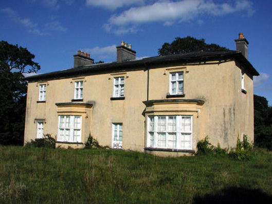 Cashlieve Housecountry house · 819 yd
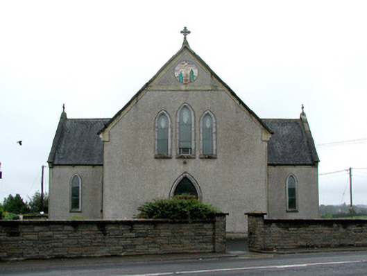 Catholic Church of the Immaculate Conceptionchurch/chapel · 1597 yd
 Embanked enclosureFairy fort / stone ringfort · 1.0 mi
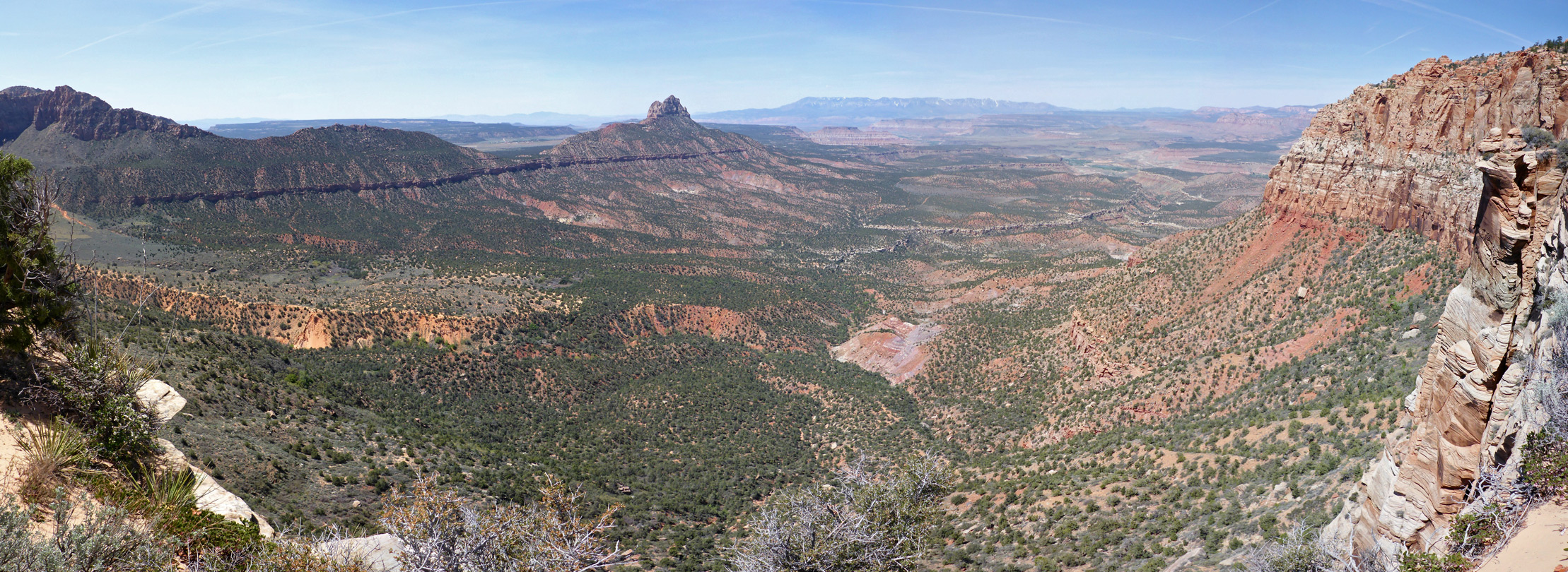 Enclosure in Mountain LowerEnclosure · 1.5 mi
 CastleCastle, unclassified · 2.2 mi
 Coolougher WoodForest · 2.2 mi
 Clonalis HouseMuseum · 4.6 mi
 Castlereagh HouseCastle, unclassified · 5.2 mi
 Slieve DartMountain / peak · 6.4 mi
 Site of Killomaine Grave YardArchaeological place · 8.7 mi
 Crow IslandIslet · 16 mi
 Lavan'shouse · 1.2 mi