What is recorded here
In pasture, located on a NW–SE ridge, at the break of slope at NNE. There are excellent views NW−SE, overlooking a broad, boggy valley.
Slightly raised, roughly circular area (34.6m N–S; 38.4m E–W) defined by a bank of earth and stone, outside which it is enclosed by a fosse.
The bank (Wth c. 3m; int. H 0.55-0.65m; ext. H 0.65m at SW, 1.5m at NW) is degraded, with numerous breaks eroded by farm stock, and at S it merges with a field fence that flanks a road.
The fosse is evident as a shallow depression (Wth 3m; D 0.6m) at SW−N−NE, is barely discernible at NE−E, peters out at SE and is truncated at S by the road. It has a slightly raised external rim (Wth 2.2m; ext. H 0.2m) at W−NNE, which may be the remnants of an outer bank but may be the result of relatively recent recutting of the fosse to incorporate it into a field drain. At NE the fosse is slightly truncated by an area of quarrying.
The rath interior has a slight slope down from centre to N–NE. There are two gaps (Wth 1-1.5m) in the bank, at E and SE, and a very low section in the bank at SW. The rath is thickly ringed by hawthorn and blackthorn scrub.
Compiled by: Jane O’Shaughnessy
Date of upload: 8 December 2021
The monument record does not grant public access. Check the route and ask the landowner before entering private land.
- What survives
- Recorded monument
Places near here
 IndicatedFairy fort / earthen ringfort · 1025 yd
 Rath Castle in ruinsCastle, tower house · 1046 yd
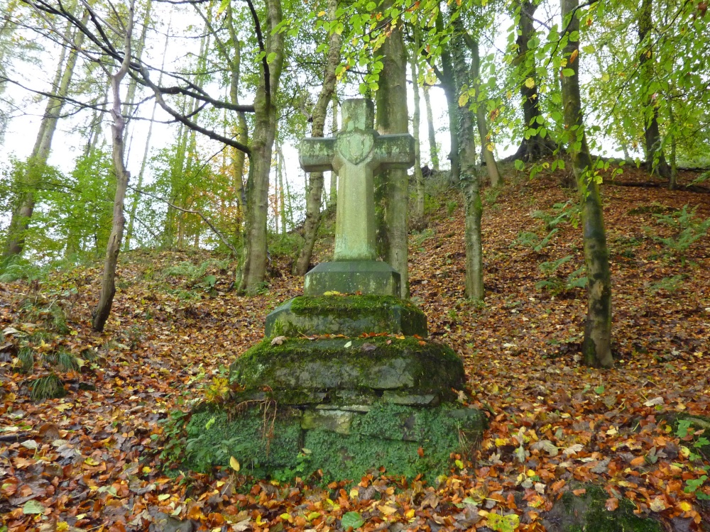 Stone CrossCross · 1171 yd
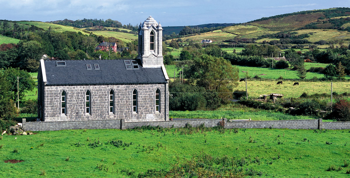 Chapel in ruinsChapel · 1372 yd
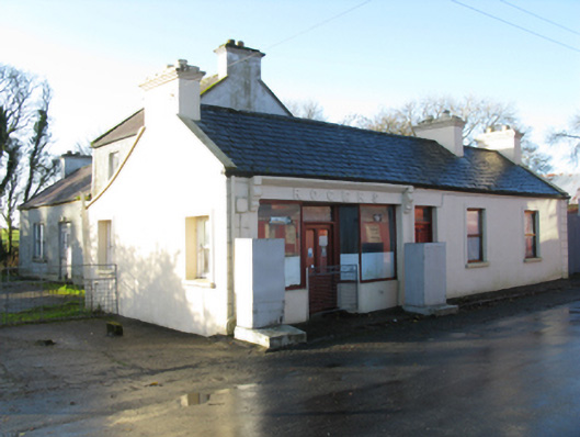 Rogershouse · 1404 yd
 East Mayo Brigade MonumentMemorial · 1.7 mi
 CastleCastle, unclassified · 2.0 mi
 Knock ShrineHeritage attraction · 4.8 mi
 Knock MuseumMuseum · 4.8 mi
 I'll Send You The FareMemorial · 6.8 mi
 Thorn CaveCave · 7.1 mi
 Bawn IslandIslet · 17 mi