What is recorded here
This road is marked 'Bog Road' on an undated Longfield map in NLI (ms. 21.F.43 (12)). This is an ordinary gravelled bog road with no evidence to show that it is an antiquity.
Compiled by: Michael Moore
Date of upload: 24 August 2010
The monument record does not grant public access. Check the route and ask the landowner before entering private land.
- What survives
- Recorded monument
Places near here
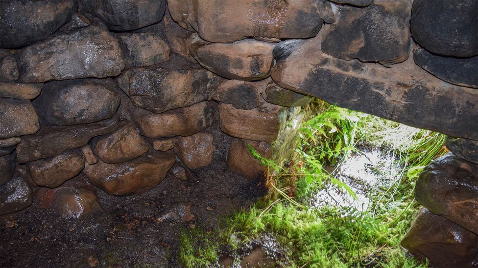 Sweathouse in ArdcolmanSweathouse · 850 yd
 Sweathouse in CarrowntarriffSweathouse · 1501 yd
 Inch IslandIsland · 1.8 mi
 CastleCastle, unclassified · 2.0 mi
 RoadRoad, road/trackway · 2.0 mi
 Country house in DalysgroveCountry house · 2.3 mi
 Killeglan CastleCastle, unclassified · 2.7 mi
 Sheep HillMountain / peak · 3.5 mi
 LismoneyForest · 3.8 mi
 InchnagowerIslet · 4.3 mi
 European ashEuropean ash · 6.1 mi
 Urraghry HillMountain / peak · 9.8 mi