What is recorded here
This structure is situated near the top of a ridge in rough pasture land about 0.8km E of the megalithic tombs (GA125-119---, GA125-120----, GA125-128----) in Marblehill (de Valera and Ó Nualláin 1972, 21-23, Ga. 26-28). The stone circle (GA125-039----) in Commons East (Ó Nualláin 1983, 148) lies about 3.2km to the SE. Eighteen radially set slabs delimit an oval measuring 7m E-W by 6m N-S. The slabs are 0.5 to lm in length and are exposed to depths varying from 0.4 to lm. McMahon (1978, 79-80) suggested that the circle may have originally consisted of 'twenty-four stones'. Stones exposed within the ring of radials suggest that this is best interpreted as a radial-stone cairn, a type of monument that is generally found associated with the later Bronze Age stone circle complex in SW Ireland. Only twenty examples are known and there is a second example in the county at Rooghaun (GA114-181----), some 23km to the NW just east of Ardrahan. (Ó Nualláin 1984, 77, No. 17)
Compiled by: Paul Walsh
Updated by: Olive Alcock
Date of revised upload: 12 October 2015
The monument record does not grant public access. Check the route and ask the landowner before entering private land.
- What survives
- Recorded monument
Places near here
 IndicatedEnclosure · 268 yd
 CaveMan-made underground passage · 439 yd
 Saint Joseph's Catholic Churchchurch/chapel · 586 yd
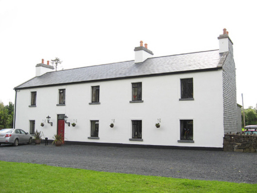 Cartron HouseRIC barracks · 665 yd
 Coolfin Castle (in ruins)Castle, tower house · 3.3 mi
 Site of CastleCastle, unclassified · 3.6 mi
 Oak WoodForest · 4.6 mi
 Bog WoodForest · 4.8 mi
 TullymoreMountain / peak · 5.0 mi
 Maguire SistersMemorial · 6.2 mi
 Friar's IslandIslet · 6.5 mi
 Abbey IslandIslet · 6.6 mi