
What is recorded here
From the National Monuments Service (Archaeological Survey of Ireland) record MA100-019
Places near here
Photo credits
- National Inventory of Architectural Heritage
- Maker not stated on source page, en.wikipedia.org
- Maker not stated on source page, www.pinterest.com
- Maker not stated on source page, fity.club
- Mayo Gaels GAA official club site; drone photographer unnamed, mayogaels.com
- Kathy Lyons Photography (watermark on photograph), displayed by Balla Community and Rural Development, www.balla.ie
- Maker not stated on source page, www.dreamstime.com
- Maker not stated on source page, ie.pinterest.com
- Maker not stated on source page, www.mayo-ireland.ie
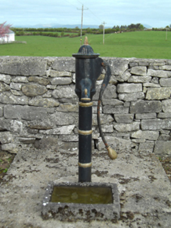 water pump174 yd
Explorer Tom Water pump in Knockatotaun [carr. by.] is standing there looking like it’s lost in thought about the concept of water.…
 Mount PleasantGate lodge · 1100 yd
Explorer Tom Mount Pleasant Gate Lodge is basically a temple that lost its religion. It’s standing there all by itself like it’s…
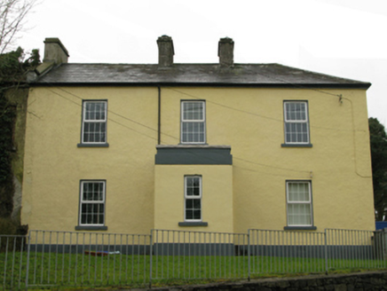 Ballyglass Garda Síochána StationGarda station/constabulary barracks · 1154 yd
Explorer Tom Ballyglass Garda Síochána Station is where Sergeant Hickie and his mates spent their days doing absolutely nothing.…
 Church in KilgreanaChurch · 1179 yd
Explorer Tom Church in Kilgreana is haunted by a ghost who is too lazy to actually haunt anything, so he just sits in the corner and…
 Castle Lucas in ruinsCastle, unclassified · 1.6 mi
Explorer Tom Castle Lucas in ruins is secretly proud of one specific potato growing in its foundation. It thinks that spud…
 Stone head in Killeen (carra By.)Stone head · 2.2 mi
Explorer Tom Stone head in Killeen is staring at you like you owe it money, which I’m pretty sure you do. A bishop once refused to…
 CastleCastle, unclassified · 2.3 mi
Explorer Tom Castle in Burnafaunia is having a quiet rivalry with a much more famous castle down the road, which it finds deeply…
 Abbey Park, Mayo GaelsGAA ground · 2.7 mi
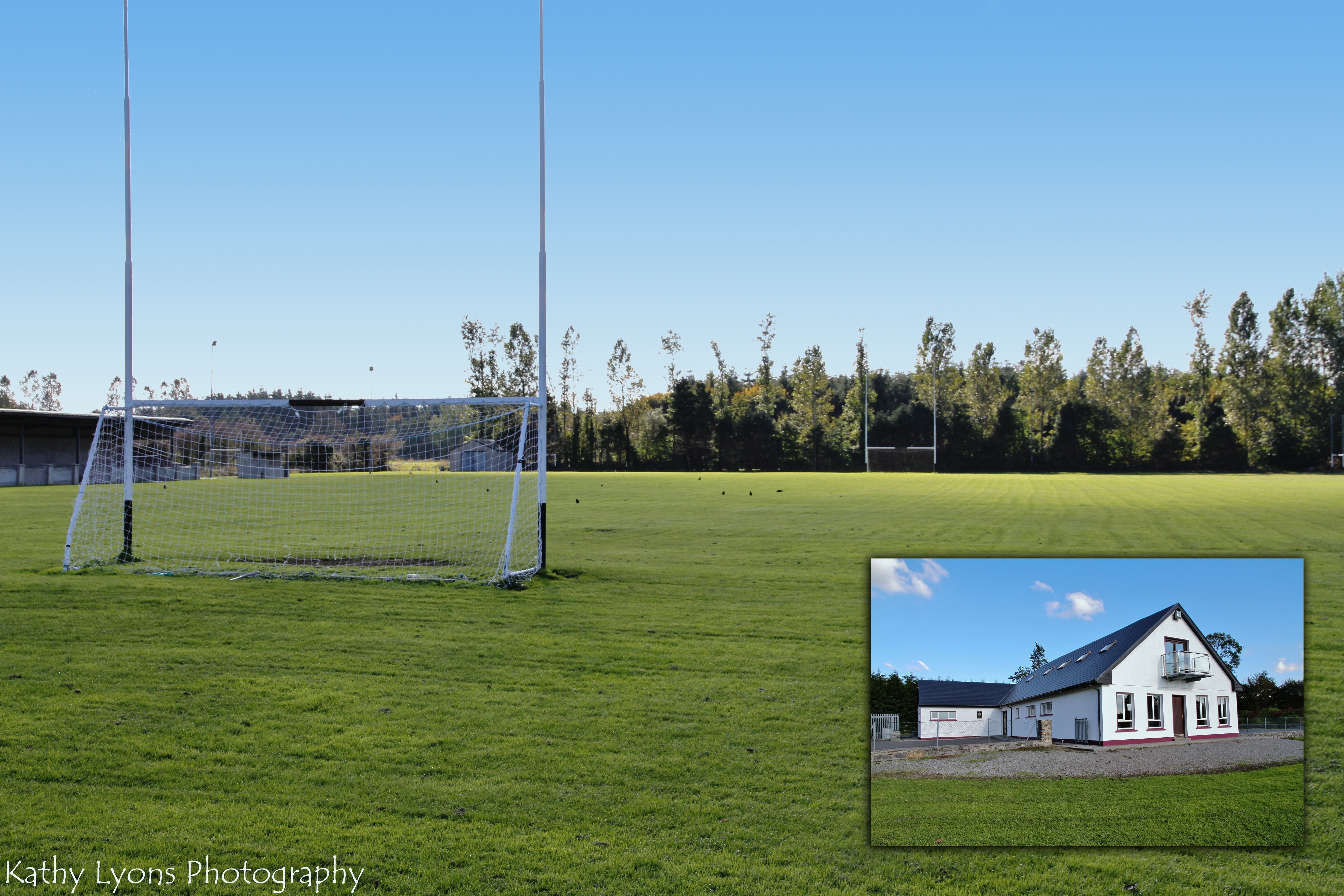 P W Nally Park, Balla GAAGAA ground · 4.3 mi
 Fairy fort / stone ringfort in PortroyalFairy fort / stone ringfort · 5.3 mi
Explorer Tom Fairy fort / stone ringfort in Portroyal is on an island, which makes parking rights a total nightmare for the fairies.…
 Castle IslandIslet · 5.4 mi
Explorer Tom Third Castle Island! I swear these places are clones or something. It smells like low tide and regret, which is…
 Leamnahye IslandIslet · 5.8 mi
Explorer Tom Leamnahye Island holds the unofficial record for being the most confused about whether it’s an island or just a very…
More archaeology and monuments in County Mayo · All of County Mayo

What do you know about this place?Tap to add a comment or ask a question