What is recorded here
Indicated is a 34-metre circular rath in County Galway where earth and stone still mark part of its edge while farm buildings erased the rest. It is not a complete circle on the surface, but the surviving bank and faint outer ditch preserve the shape of a place that once enclosed life. The missing section does not weaken the site; it shows how easily human hands rewrite old boundaries. What remains is enough to stop a person turning and remember that the field was not empty before it became a farm.
In gently undulating pastureland. Poorly preserved circular rath (diam. 34m) defined by a bank of earth and stone from SE through S to NW and by a gentle scarp from NE to SE. Slight traces of an external fosse are visible from SE to SW. From NW through N to NE no visible surface trace of the enclosing elements survives due to the construction of farm buildings.
Compiled by: Galway Archaeological Survey, UCG
Date of upload: 25 January 2017
The monument record does not grant public access. Check the route and ask the landowner before entering private land.
- What survives
- Recorded monument
Places near here
 CaveMan-made underground passage · 541 yd
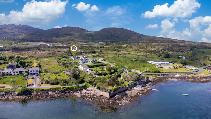 Enclosure in BallyhoganEnclosure · 993 yd
 Burke VilleHouse, 18th/19th century · 1333 yd
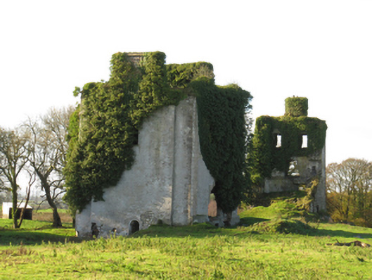 Ballydonnellan Castlecountry house · 1541 yd
 Dartfield Horse MuseumHeritage attraction · 3.1 mi
 Drought Castle (in Ruins)Castle, tower house · 3.4 mi
 Park CastleCastle, hall-house · 3.6 mi
 Battle of AughrimMajor battlefield · 5.5 mi
 The bloody HollowHeritage attraction · 5.6 mi
 Battle of Aughrim Interpretative CentreMuseum · 5.7 mi
 Urraghry HillMountain / peak · 6.7 mi
 Quarryhill WoodWood · 7.2 mi