What is recorded here
Listed in both the the SMR (1989) and RMP (1995) and classified as 'Settlement' and 'Field System' respectively . Not shown on the 1838 edition of the OS 6-inch map. On the lower S slopes of the Ox Mountains. This field system (GSIAP, G 234) relates to the hamlet of Monalea. It Any kinks and irregularities in these fields, which have remains of lazy-bed cultivation within them, is due to a desire by their builders to include natural rock outcrops in the stone walls. This is probably post-1700 AD in date.
Compiled by: Archaeological Survey Unit, UCC
Date of upload: 13 January 2012
The monument record does not grant public access. Check the route and ask the landowner before entering private land.
- What survives
- Recorded monument
Places near here
 Carrowreagh Court TombArchaeological place · 1003 yd
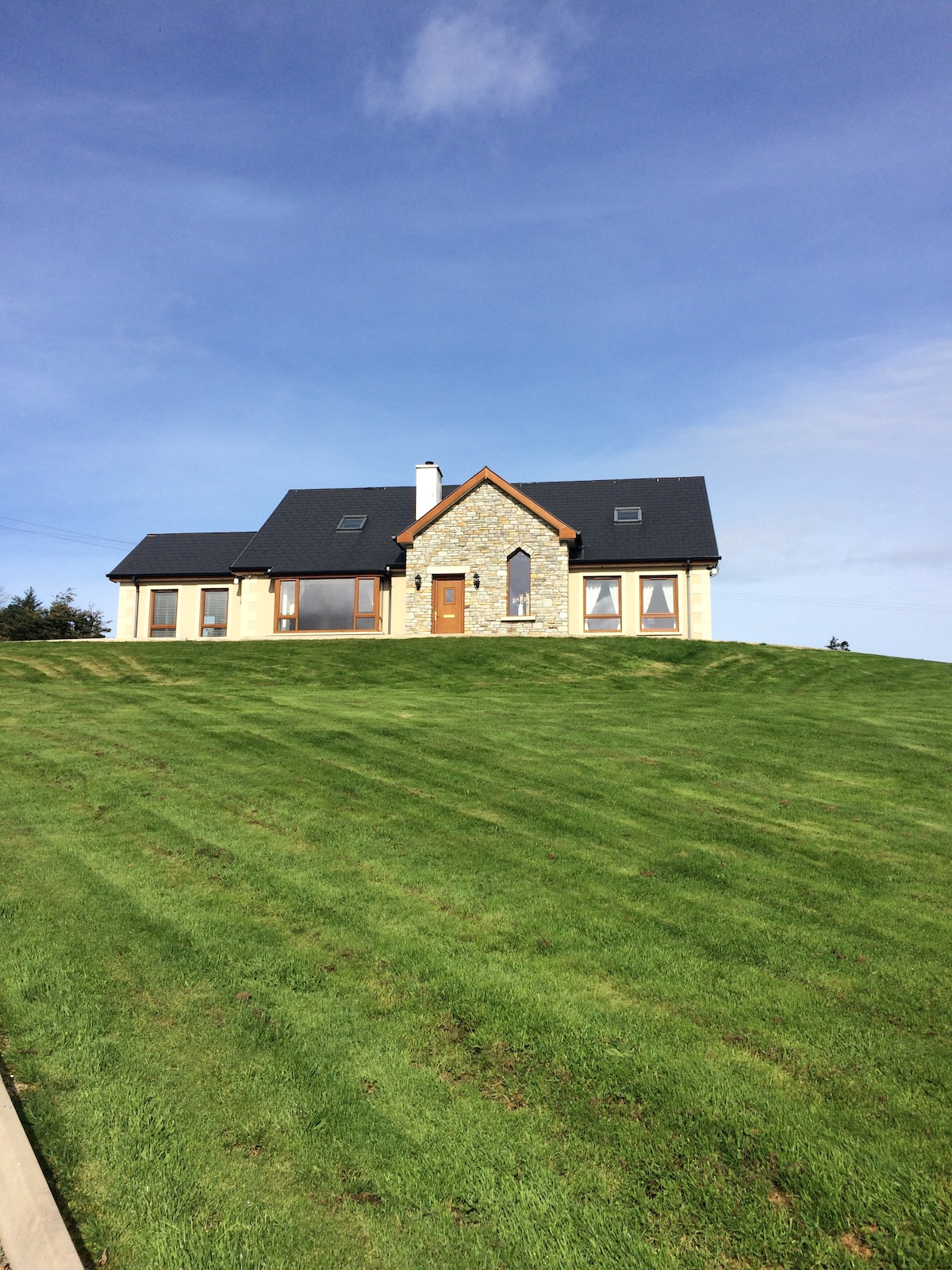 CashelmoreFairy fort / stone ringfort · 1214 yd
 Church in KilmacteigeChurch · 1.1 mi
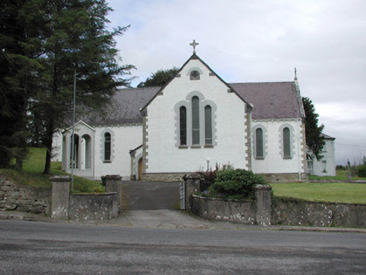 Catholic Church of Our Lady of the Rosarychurch/chapel · 1.1 mi
 Castle (in Ruins)Castle, tower house · 1.3 mi
 KnockasliggaunMountain / peak · 2.5 mi
 Lough Talt TrailVisitor information · 3.1 mi
 Castle Carragh in RuinsCastle, unclassified · 3.4 mi
 Largan HillMountain / peak · 3.7 mi
 Carrick WoodWood · 4.5 mi
 Mass RockNamed rock · 5.0 mi
 New WoodWood · 5.2 mi