What is recorded here
Located on a N–S ridge, with a steep fall of ground to E, and a gradual slope to W. The rath is now tightly boxed into a small square field, accessed at the NE corner by a sunken farm track.
Slightly raised circular area (30m N–S; 29m E–W0 defined by an earthen bank (Wth 3.5m at W; 3.6m at E; int. H 0.5m at W, 0.45m at E; ext. H 1.8m at W, 1.6m at E). The bank incorporates stones, especially evident on the inner slope at NE–E. It is well preserved, with a steep external face. There is a low eroded section at SW. At S–SSW the external slope of the bank is incorporated into the line of a later E-W field fence. A N-S field fence lies immediately outside the bank at W and an E–W field fence is immediately outside the bank at N. At E a level gap of 8m intervenes between the rath and a N-S field fence, which cuts across the natural E-facing slope of the ridge. At NE a low area (W 1.5m) in the bank, partly blocked with stones, splays outwards (Wth 2.6m) beyond the line of the bank, where it is roughly faced with stones; this appears to be an entrance feature. The rath interior is level, except for a slight slope down in the NE quadrant. There is a shallow grassed-over subcircular depression (diam. 5m; D 0.4m) against the inner face of the bank at W.
Compiled by: Jane O'Shaughnessy
Date of upload: 21 February 2020
The monument record does not grant public access. Check the route and ask the landowner before entering private land.
- What survives
- Recorded monument
Places near here
 IndicatedFairy fort / earthen ringfort · 592 yd
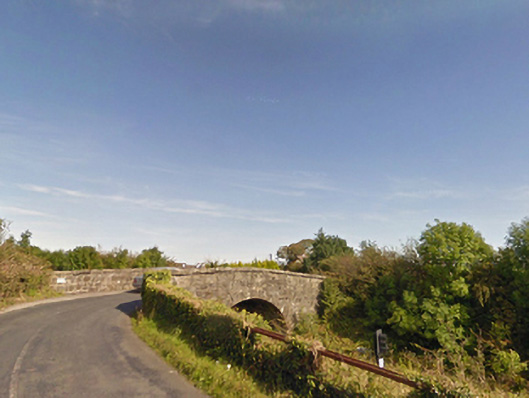 bridgebridge · 965 yd
 Gull IslandIslet · 1.3 mi
 Enclosure in CorroyEnclosure · 1.6 mi
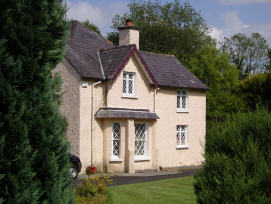 Woodbine Househouse · 1.8 mi
 CastleCastle, unclassified · 1.9 mi
 Humbert MonumentMemorial · 2.4 miBattle of Ballinabattle · 2.4 mi
 Castle (in ruins)Castle, unclassified · 2.7 mi
 The Marshall Doran CollectionGallery · 3.6 mi
 Belleek WoodsWood · 3.7 mi
 FloretteWreck · 3.8 mi