What is recorded here
In pasture, located on top of hill, with a steep at SE–SW. There are excellent views in all directions. This rath consists of a raised subcircular area (diam. c. 36m NW–SE) enclosed by three earthen banks, with two intervening fosses. The inner bank (Wth 6.4m at SSW; int. H 1m at SSW. 0.5-0.6m at NNE; ext. H 2.1m at SSW, 2.6m at NNE) is low and rather eroded on its inner face, especially at NE. Stones evident on the inner slope in parts at N and W may be remnants of a kerb or facing. The steep external slope drops into the innermost fosse (Wth 4m at SSW, 3.3m at NNE). This fosse, the second or middle bank (Wth 4.3m at SSW, c. 5m at NNE; int. H 0.85m at SSW, c. 2m at NNE; ext. H 1m at SSW, 1.6m at NNE) and the second or outermost fosse (Wth 3m at SSW, 2m at W) are all clearly defined for the complete circuit. The third or outermost bank (Wth 2.5-3.5m; int. H 0.85m; ext. H 0.6m at SSW) is lower and appears less substantial, and has been incorporated into or truncated by a later field fence around the N half of the rath. The original entrance appears to be at E, where there is a gap (Wth c. 2.5m) in the inner bank, and a corresponding gap (Wth c. 3.5m) in the second/middle bank. Both gaps are dilapidated and partly obscured by overgrowth. A low rise extending across the innermost fosse may be remnants of an original entrance causeway. This cannot be traced across the second fosse, and no gap is evident in the third/outermost bank as it has been incorporated into a field fence at this point. There are also breaks in the inner and middle banks at NW. There is a Man-made underground passage (MA039-052002-) in the W half of the interior. The perimeter is densely ringed with hawthorn, blackthorn, brambles and gorse, which also encroach on the interior.
In pasture, located on top of hill, with a steep at SE–SW. There are excellent views in all directions. This rath consists of a raised subcircular area (diam. c. 36m NW–SE) enclosed by three earthen banks, with two intervening fosses. The inner bank (Wth 6.4m at SSW; int. H 1m at SSW. 0.5-0.6m at NNE; ext. H 2.1m at SSW, 2.6m at NNE) is low and rather eroded on its inner face, especially at NE. Stones evident on…
From the National Monuments Service (Archaeological Survey of Ireland) record MA039-052001
The monument record does not grant public access. Check the route and ask the landowner before entering private land.
- What survives
- Recorded monument
Places near here
Photo credits
- National Inventory of Architectural Heritage
- Mike-kinsella, Wikimedia Commons · CC BY-SA 4.0
- Milesoneill, Wikimedia Commons · Public domain
- Monucg at en.wikipedia, Wikimedia Commons · CC BY-SA 3.0
- Richard Webb, Geograph · CC BY-SA 2.0
- Ray Martin, Wikimedia Commons · Public domain
- Mike Searle, Wikimedia Commons · CC BY-SA 2.0
- Pamela Norrington, Geograph · CC BY-SA 2.0
- Liz McCabe, Geograph · CC BY-SA 2.0
- Liz McCabe, Wikimedia Commons · CC BY-SA 2.0
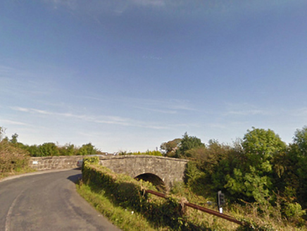 bridge614 yd
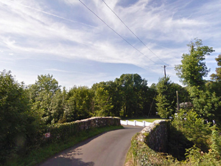 bridge1626 yd
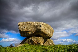 Dolmen of the four MaolsArchaeological place · 1.7 mi
 Battle of BallinaBattle · 2.4 miHumbert MonumentMemorial · 2.5 mi
 Knox Gore MonumentMonument · 3.6 mi
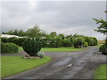 Belleek WoodsWood · 3.8 mi
 CastleCastle, tower house · 4.0 mi
_(geograph_1954385).jpg/250px-Castles_of_Connacht-_Deel,_Mayo_(1)_(geograph_1954385).jpg "Photo: Mike Searle, Wikimedia Commons · CC BY-SA 2.0") Deel CastleCastle · 4.1 mi
Deel CastleCastle · 4.1 mi Titanic Memorial ParkMemorial · 7.3 mi
 FarbreigaMountain / peak · 8.9 mi
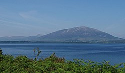 NephinMountain / peak · 9.5 mi
More archaeology and monuments in County Mayo · All of County Mayo
What do you know about this place?