What is recorded here
Indicated is a fairy fort or earthen ringfort in Carrowntoosan, County Roscommon, Ireland. It occupies a circular grass-covered area towards the bottom of a gentle east-facing slope of Rathcroghan. A slight bank and outer fosse define the structure, while entrances appear at the east-southeast and west-northwest. Another rath lies approximately 240 metres to the north-northwest.
Towards the bottom of a gentle E-facing slope of Rathcroghan. Circular grass-covered area (diam. 24.3m N-S; 23.5m E-W) defined by a slight bank (Wth 3m; int. H 0.2m; ext. H 0.9m) and outer fosse (Wth of base 2m; D 0.3m) WSW-N, with a scarp (H 0.4-0.9m) elsewhere. There are entrances at ESE (Wth 2.5m) and WNW (Wth 1.4m). Rath (RO022-057051-) is c. 240m to the NNW. (Knox 1914a, 33, Rath No. 2; Waddell 1983, 41, No. 49)
Compiled by: Michael Moore
Date of upload: 24 August 2010
Carrowntoosan is a circular fairy fort (ringfort/rath) located near Rathcroghan, a significant early-medieval royal site associated with the Kings of Connacht. It is likely of early-medieval origin and may have been part of a broader network of ceremonial or elite settlements; local folklore often links such forts to the Tuatha Dé Danann or to hidden fairy realms.
The monument record does not grant public access. Check the route and ask the landowner before entering private land.
- What survives
- Recorded monument
Places near here
 Embanked enclosureFairy fort / ringfort · 821 yd
 RoadRoad, road/trackway · 1297 yd
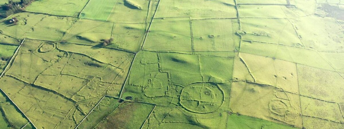 RelignareeConcentric enclosure · 1308 yd
 European ashEuropean ash · 1.1 mi
 ToberagullaSpring · 1.1 mi
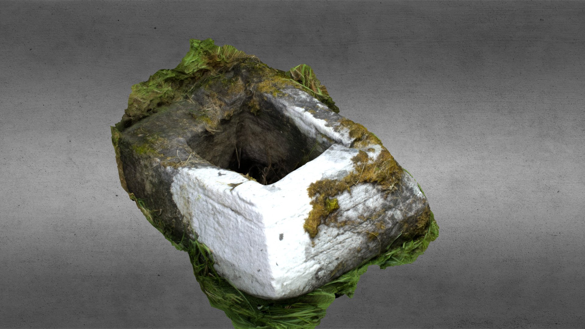 Church in OgullaChurch · 1.2 mi
 CastleCastle, unclassified · 1.7 mi
 Cruachan Aí Heritage CentreMuseum · 1.7 mi
 CastlerubyCastle, unclassified · 1.8 mi
 War of Independence Commemorative Military MemorialMemorial · 4.4 mi
 Silver IslandIslet · 7.4 mi
 Sweet ChestnutSweet Chestnut · 7.7 mi