What is recorded here
On a gentle SW-facing slope in an area of good pasture. An area of about 20 acres (c. 8 ha) containing irregularly subrectangular fields of c. 0.5 ha defined by drystone walls is visible on aerial photograph (CUCAP: APH 47). These walls pre-date the modern strip system which overlies it, but they are also marked on the 1915 ed. of the OS 6-inch map. There is no evidence of settlement or of lazy-bed cultivation. The area has now been almost completely reclaimed and the surviving area covers about 4 acres (c. 1.5 ha). It is adjacent to and part of the field system (RO047-054002-) which is c. 200m to the E and field system (RO047-051----) which is c. 300m to the N.
Compiled by: Michael Moore
Date of upload: 24 August 2010
The monument record does not grant public access. Check the route and ask the landowner before entering private land.
- What survives
- Recorded monument
Places near here
 Sweathouse in CarrowntarriffSweathouse · 359 yd
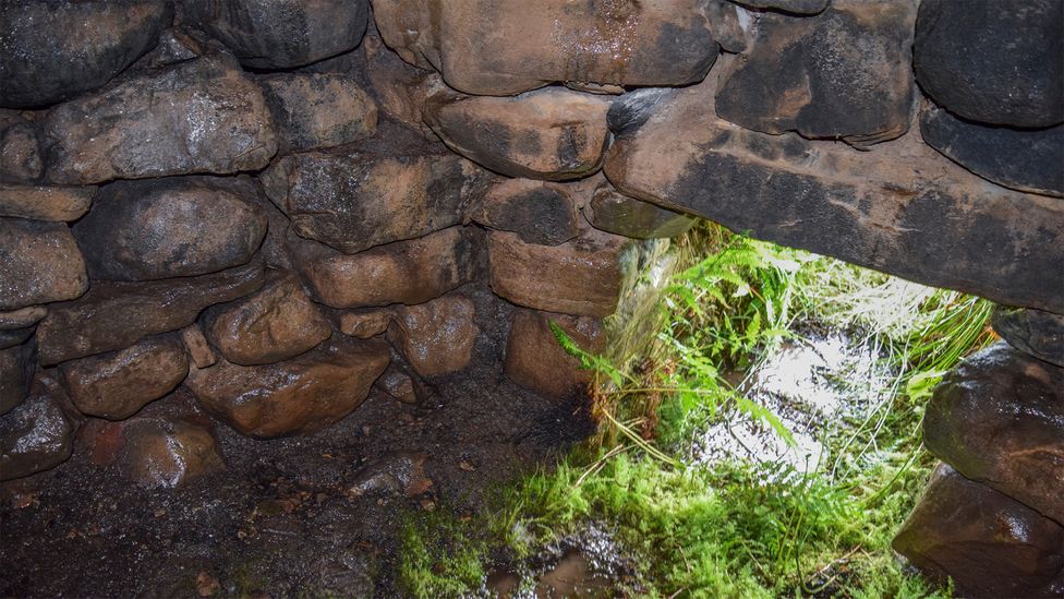 Sweathouse in ArdcolmanSweathouse · 481 yd
 RoadRoad, road/trackway · 1.5 mi
 CastleCastle, unclassified · 1.5 mi
 Inch IslandIsland · 1.8 mi
 Church (in Ruins)Church · 2.0 mi
 Killeglan CastleCastle, unclassified · 2.9 mi
 Sheep HillMountain / peak · 3.6 mi
 InchnagowerIslet · 3.6 mi
 LismoneyForest · 4.4 mi
 European ashEuropean ash · 6.8 mi
 Kilconnell AbbeyHeritage attraction · 11 mi