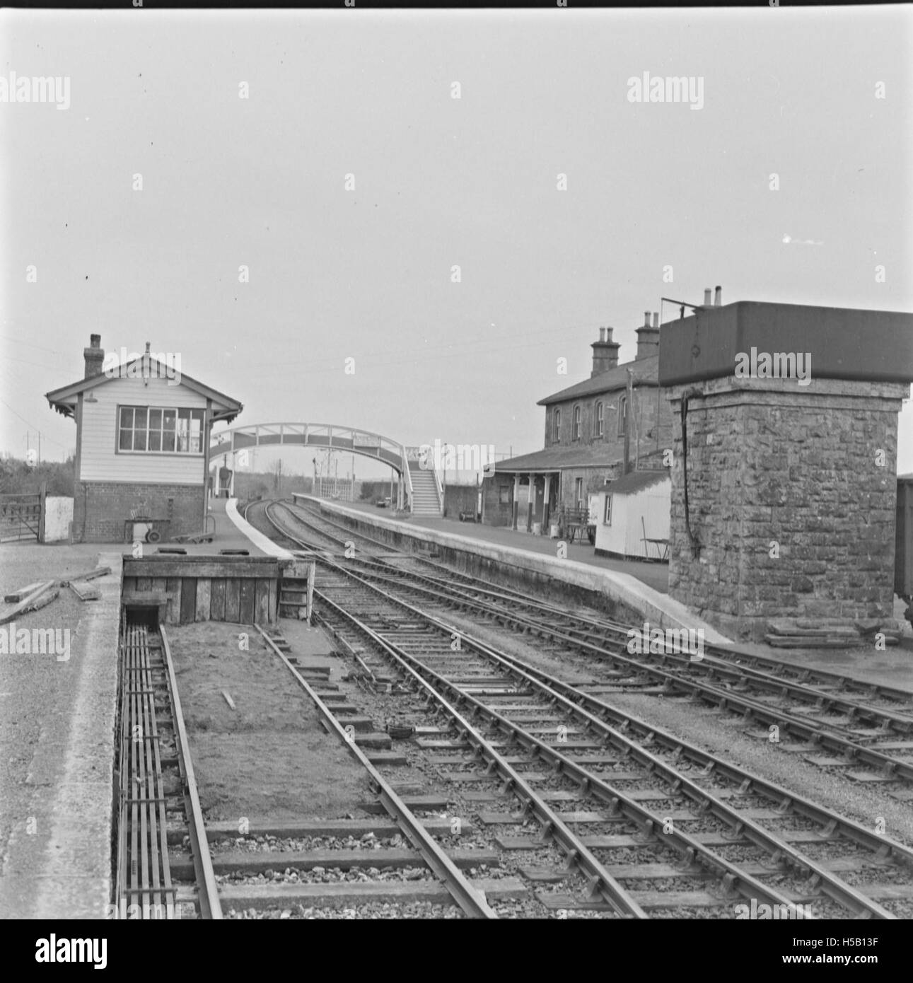
What is recorded here
Indicated is a fairy fort or earthen ringfort in Carrowntarriff, County Roscommon, Ireland. It appears only on the 1915 Ordnance Survey six-inch map as a circular enclosure on a rise in gently undulating ground. The subcircular grass-covered platform measures thirty-four point four metres north-north-east to south-south-west and twenty-seven point seven metres west-north-west to east-south-east. An earth and stone scrub-covered bank two point four to three metres wide and zero point three to zero point six metres high defines the edge, remaining best preserved from south to north-west but reducing to a scarp elsewhere.
Marked only on the 1915 ed. of the OS 6-inch map as a circular enclosure, and situated on a rise in a gently undulating landscape. This is a subcircular grass-covered platform (dims 34.4m NNE-SSW; 27.7m WNW-ESE) defined by an earth and stone scrub-covered bank (Wth 2.4-3m; H 0.3-0.6m) which is best preserved S-NW but reduced to a scarp elsewhere. There is slight evidence of an ancient stone wall on top of this scarp, but a field wall obscures the perimeter NW-E-S. There is no visible fosse or identifiable original entrance.
Compiled by: Michael Moore
Date of upload: 24 August 2010
The monument record does not grant public access. Check the route and ask the landowner before entering private land.
- What survives
- Recorded monument
Places near here
 Sweathouse in CarrowntarriffSweathouse · 372 yd
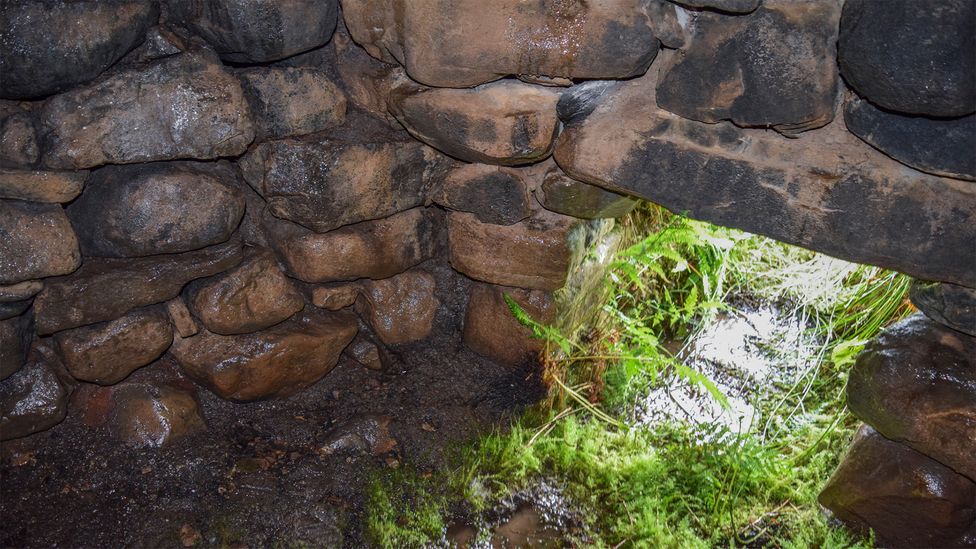 Sweathouse in ArdcolmanSweathouse · 1105 yd
 RoadRoad, road/trackway · 1.1 mi
 CastleCastle, unclassified · 1.2 mi
 Church (in Ruins)Church · 1.7 mi
 Inch IslandIsland · 1.9 mi
 Killeglan CastleCastle, unclassified · 3.0 mi
 InchnagowerIslet · 3.2 mi
 Sheep HillMountain / peak · 3.6 mi
 LismoneyForest · 4.8 mi
 European ashEuropean ash · 7.2 mi
 Mount MaryMountain / peak · 11 mi
Other information
Photo: Credit not shown in the picture search · Rights wording not checked; contact us if this picture should be removed