What is recorded here
On a gentle S-facing slope. An area of about 30 acres (c. 12 ha) containing a relict field system of irregularly shaped, grass and scrub-covered fields of c. 0.4 ha defined by drystone walls is visible on aerial photographs (CUCAP: APH 45-6). The fields are associated with lazy-bed cultivation and can be related to some 19th century housing which is now derelict. The field system is overlaid by modern field strips. Most of the area is now reclaimed and the relict system is reduced to about 6.5 acres (c. 2.5 ha). It is adjacent to and part of the field system (RO047-053----), c. 200m to the W, and contains the sweat-house (RO047-054003-).
Compiled by: Michael Moore
Date of upload: 24 August 2010
The monument record does not grant public access. Check the route and ask the landowner before entering private land.
- What survives
- Recorded monument
Places near here
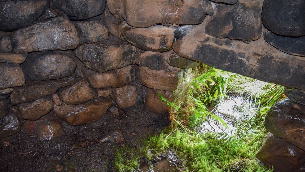 Sweathouse in ArdcolmanSweathouse · 140 yd
 Sweathouse in CarrowntarriffSweathouse · 713 yd
 RoadRoad, road/trackway · 1.5 mi
 CastleCastle, unclassified · 1.5 mi
 Inch IslandIsland · 2.0 mi
 Church (in Ruins)Church · 2.0 mi
 Killeglan CastleCastle, unclassified · 2.6 mi
 Sheep HillMountain / peak · 3.3 mi
 InchnagowerIslet · 3.7 mi
 LismoneyForest · 4.3 mi
 European ashEuropean ash · 6.7 mi
 Urraghry HillMountain / peak · 10 mi