What is recorded here
In pasture, on a slight rise on old shoreline of Mannin Lough, on generally level ground, at base of a SW-facing slope.
A small circular embanked enclosure (diam. c. 15m) is shown on the 1838 OS 6-inch map. It is not shown on later map editions.
Low, roughly circular platform (17m NE–SW; 14m NW–SE) defined by a slight scarp (H 0.2-0.3m) which is best preserved to SE where it is enhanced by the natural slope. The enclosure is poorly defined and appears to have been partly levelled.
Compiled by: Jane O’Shaughnessy
Date of upload: 14 June 2022
The monument record does not grant public access. Check the route and ask the landowner before entering private land.
- What survives
- Recorded monument
Places near here
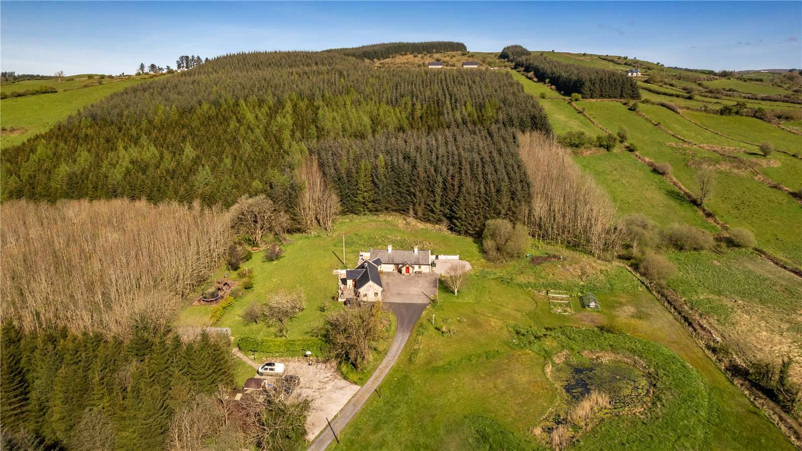 Enclosure in Carrowneden (costello By., Aghamore Par.)Enclosure · 413 yd
 Kilronan WellHoly well · 512 yd
 CastleCastle, unclassified · 1.2 mi
 Mannin Housefarm house · 1.2 mi
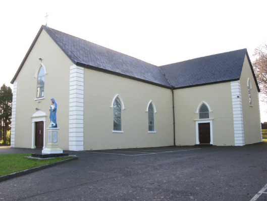 Saint Joseph's Catholic Churchchurch/chapel · 1.9 mi
 Rath Castle in ruinsCastle, tower house · 2.8 mi
 Knock MuseumMuseum · 4.5 mi
 Knock ShrineHeritage attraction · 4.5 mi
 East Mayo Brigade MonumentMemorial · 4.6 mi
 I'll Send You The FareMemorial · 8.4 mi
 Oak WoodForest · 10 mi
 Geoffrey's WoodForest · 11 mi