What is recorded here
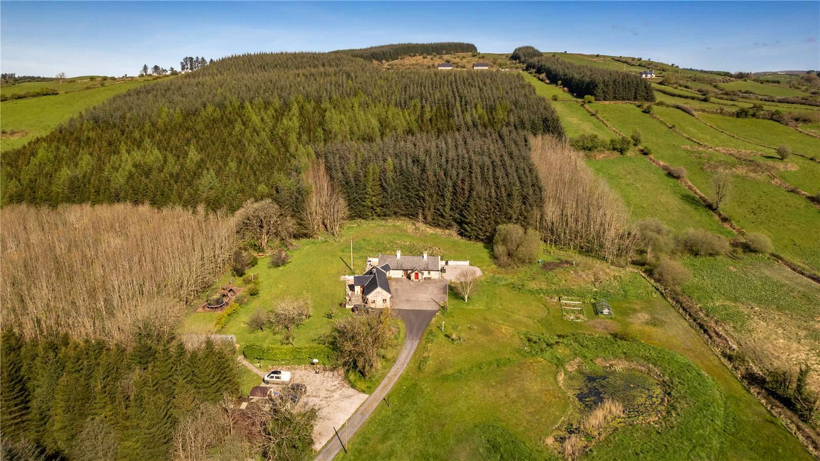
Half-hidden in pasture above Mannin Lough, the D-shaped enclosure may be a worn ringfort or merely a old field fence. Its stone banks still break the ridge, and a lone hawthorn marks the buried mound within. Whatever it was, people shaped that terrace long before maps remembered it.
In rough to average pasture, utilising a level terrace on the SW-facing slope of a ridge, overlooking Mannin Lough. Very good view along the length of the river valley at S–NW, and of the parallel ridge to SW.
This enclosure is not shown on the 1838 OS 6-inch map; a curving field boundary is shown on the 1916 edition and is recorded in an aerial photogragh (GSI M 552 –3; Roll 217, pr. 20; SMR file).
A D-shaped area (51.8m NE–SW; 34m NW–SE) defined on the curving side at SSW–W by a scarp (Wth slope 1.8m; H 1.4m) roughly faced with stone, at WNW–NNE by a stone bank (Wth 2.3m; int. H 0.5m; ext. H 1m), and at NE–ENE by an earth and stone bank (Wth 2.6m; int. H 0.5m; ext. H 0.2m). The straight side at SE is bordered by a drystone field wall. There is no evidence of a continuation of the enclosure to SE of the field wall.
A break (Wth 6m) in the bank at ENE allows access to the interior. A spine of slightly raised ground extends through the generally level interior from the scarp at SE, ending in the centre at a sod-covered stony mound (c. 10m NW–SE; c. 4.8m NE–SW; H 0.6m), possibly a field clearance cairn. There is a hawthorn bush at the SE end of the mound.
The enclosing stone bank resembles nearby field fences in size and construction. This may simply be a field enclosure, or it may be the remnants of a ringfort that has been greatly modified and incorporated into later field walls.
Compiled by: Jane O’Shaughnessy
Date of upload: 30 June 2022
The monument record does not grant public access. Check the route and ask the landowner before entering private land.
- What survives
- Recorded monument
Places near here
 Kilronan WellHoly well · 865 yd
 CastleCastle, unclassified · 1667 yd
 Enclosure in Larganboy EastEnclosure · 1689 yd
 Mannin Housefarm house · 1.4 mi
 Ch (in Rns)Church · 2.0 mi
 Rath Castle in ruinsCastle, tower house · 2.9 mi
 East Mayo Brigade MonumentMemorial · 4.7 mi
 Knock MuseumMuseum · 4.7 mi
 Knock ShrineHeritage attraction · 4.7 mi
 I'll Send You The FareMemorial · 8.7 mi
 Oak WoodForest · 10 mi
 Geoffrey's WoodForest · 11 mi
Other information
Photo: Credit not shown in the picture search · Rights wording not checked; contact us if this picture should be removed