What is recorded here
Indicated is a fairy fort or earthen ringfort in Carrownaworan, County Sligo, Ireland. The levelled rath occupies a gentle south-facing pasture slope and measures thirty-four metres across. A wide fosse surrounds the southern, western and north-western arcs, while cultivation ridges cross the interior. Aerial photography from 1968 and Ordnance Survey maps from 1838 and 1914 still show the circular boundary.
In pasture, on a gentle S-facing slope. The rath is levelled. It is now evident as a slightly raised circular area (diam. 34m) surrounded by a wide fosse (Wth 8m; D 0.2m) along the S, W and NW arcs. The interior slopes gently down to E and is crossed by the remains of cultivation ridges. The fosse is visible all round as a shadow site in an aerial photograph taken in 1968 (CUCAP, AVI 92). The rath is indicated on the 1838 OS 6-inch map as an embanked circular area and on 1914 OS 6-inch map as a hachured circular raised area.
The above description is derived from the published 'Archaeological Inventory of County Sligo' compiled by Ursula Egan, Elizabeth Byrne, Mary Sleeman with Sheila Ronan and Connie Murphy (Dublin Stationery Office, 2005).
Date of upload: 18 January 2008
The monument record does not grant public access. Check the route and ask the landowner before entering private land.
- What survives
- Recorded monument
Places near here
 Indicated (1838).Fairy fort / earthen ringfort · 291 yd
 Abbey CourtReligious house, Franciscan friars · 335 yd
 Enclosure in Knocknashee CommonEnclosure · 894 yd
 KnocknasheeMountain / peak · 1166 yd
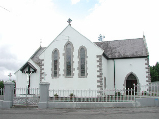 Catholic Church of the Sacred Heartchurch/chapel · 1.0 mi
 CastleCastle, unclassified · 1.2 mi
 Muckelty HillMountain / peak · 2.6 mi
 European ashEuropean ash · 2.9 mi
 ElderElder · 3.3 mi
 Castle (in Ruins)Castle, tower house · 4.7 mi
 The Turf Stack RockNamed rock · 5.4 mi
 Old Cave Burial GroundArchaeological place · 8.8 mi