What is recorded here
In undulating pasture. Raised circular area (int. diam. c. 38m) defined by a substantial earthen (Wth c. 4m; int. H 1m; ext. H 3m), and enclosed by a fosse, with an external bank. The fosse (Wth 2.5m) and external bank (int. H 1.5m above fosse) are most clearly defined on the W half of the rath. Elsewhere, the fosse is evident as a broad shallow depression, but has been damaged at S. The external bank is poorly preserved at N−E, and has been removed at SE−S. There is a break (Wth 4m) of relatively recent date in the inner bank at NE. There is a roughly rectangular concrete platform in the NE quadrant of the interior.
Compiled by: Jane O'Shaughnessy
Date of upload: 30 January 2018
This remains an important historical record, but the official description says the monument is no longer visible or has been destroyed. The monument record does not grant public access. Check the route and ask the landowner before entering private land.
- What survives
- No visible remains or recorded as destroyed
Places near here
 Mass-rock in CarrownaltoreMass-rock · 283 yd
 IndicatedFairy fort / earthen ringfort · 718 yd
 Church (in ruins)Church · 959 yd
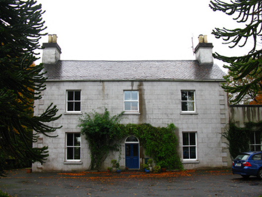 Ballynewfarm house · 1420 yd
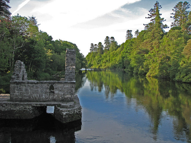 River WoodWood · 1.7 mi
 Sunken GardenWood · 1.9 mi
 CastleCastle, unclassified · 2.0 mi
 National Museum of Ireland, Country LifeMuseum · 2.0 mi
 Battle of CastlebarMajor battlefield · 2.1 mi
 Saint John Baptist de La SalleMemorial · 2.2 mi
 1798 MemorialMemorial · 2.4 mi
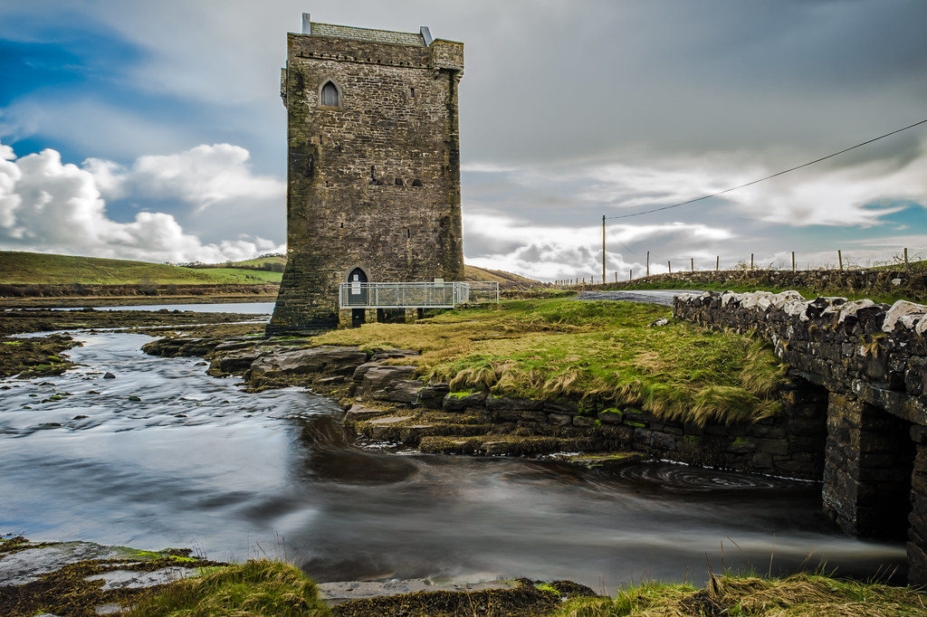 Moyhenna Castle in ruinsCastle, unclassified · 2.9 mi