What is recorded here
Indicated is a subcircular cashel in County Clare, Ireland, where a double-faced wall still stands along the east before collapsing into a wide rubble band elsewhere. The site sits on a slight rise above improved pasture, with limestone pavement stretching southwest and another ringfort visible sixty metres to the east. Its shape appeared on the first edition map in 1842 and reappeared on the later Cassini edition in 1920, suggesting the place remained recognizable long after its building stopped being obvious.
On a slight rise in improved pasture with limestone pavement extending SW c. 70m to the W. Indicated on the first edition (1842) and hachured on the later, Cassini edition (1920) of the OS 6-inch map. This largely overgrown subcircular cashel (23m NNE-SSW; 19m WNW-ESE) is defined by a double-faced wall (Wth 1.6m). The wall-faces (max. H 0.5m) survive along the E where the monument is also defined by a scarp (max. H 1.3m at ENE). Elsewhere the wall has collapsed (Wth 3-4m; H 1m). There are also a number of boulders along the E, several of which appear to have been incorporated in the outer wall-face, particularly one at NE. There is a ringfort (CL010-083----) c. 60m to the ENE.
Compiled by: Gearoid Conroy and Conn Herriott
Date of upload: 11 May 2023
The monument record does not grant public access. Check the route and ask the landowner before entering private land.
- What survives
- Recorded monument
Places near here
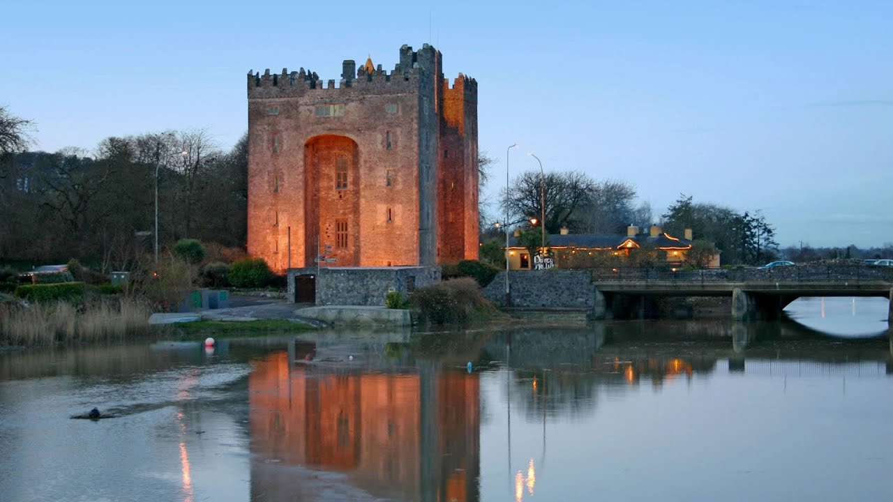 Castle (in ruins)Castle, tower house · 735 yd
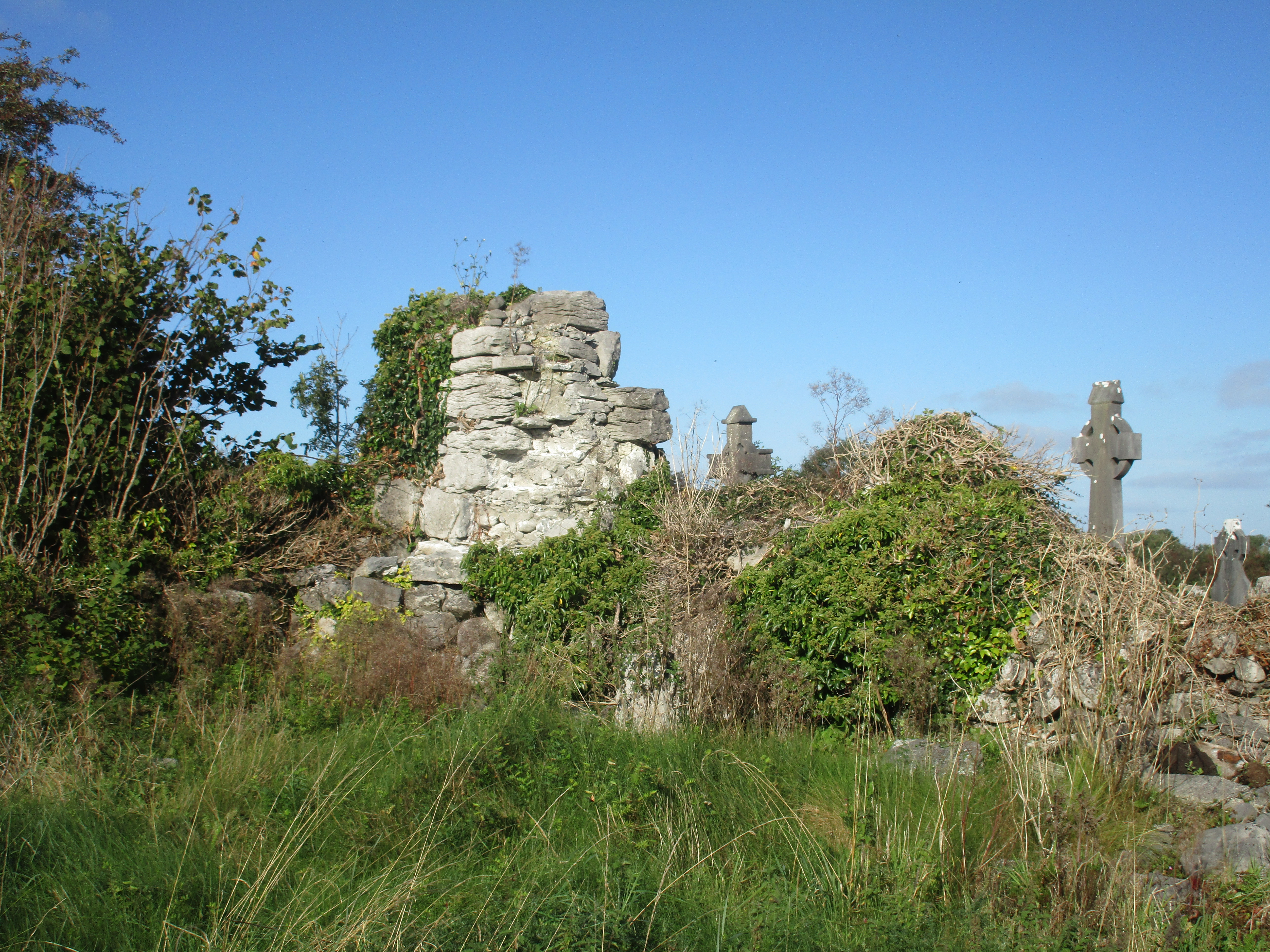 Church (in Ruins)Church · 1533 yd
 IndicatedFairy fort / stone ringfort · 1719 yd
 Enclosure in CarrownagoulEnclosure · 1.1 mi
 Burren National ParkNature reserve · 1.3 mi
 R.C. Chapel (in ruins)Church · 1.6 mi
 Glencolumbkille CastleCastle · 1.7 mi
 Kilnaloone GraveyardArchaeological place · 1.9 mi
 Slieve RoeMountain / peak · 2.0 mi
 Mullagh MoreMountain / peak · 2.5 mi
 Father Ted's HouseHeritage attraction · 3.1 mi
 Grave of Saint Mac Duagh's ServantArchaeological place · 3.3 mi