What is recorded here
Indicated is a largely overgrown subcircular cashel on a slight rise in County Clare, marked on maps since 1842 and still holding a probable entrance gap at its south-east edge. A later field wall cuts through the middle, and another cashel sits sixty metres to the west, suggesting the rise once supported more than a single dwelling. The site remains visible in improved pasture, with views to the south and southwest, but human life there has faded into grass, stone and forgotten boundary lines.
On a slight rise in improved pasture, with good views to S and SW. Indicated on the first edition (1842) and hachured on the later, Cassini edition (1920) of the OS 6-inch map. This largely overgrown subcircular cashel (int. diam. 17m NW-SE) is defined by a stone and earth bank (Wth 3m; int. H 0.7m; ext. H 1.2m) at NW-SSE. The rest of the perimeter is overlain by field-clearance material. There is a probable original entrance gap (Wth 2m) at SSE. The monument is bisected by a later field wall running WNW-ESE, which has been levelled outside the cashel. A cashel (CL010-082----) lies c. 60m to the WSW.
Compiled by: Gearóid Conroy and Conn Herriott
Date of upload: 11 May 2023
The monument record does not grant public access. Check the route and ask the landowner before entering private land.
- What survives
- Recorded monument
Places near here
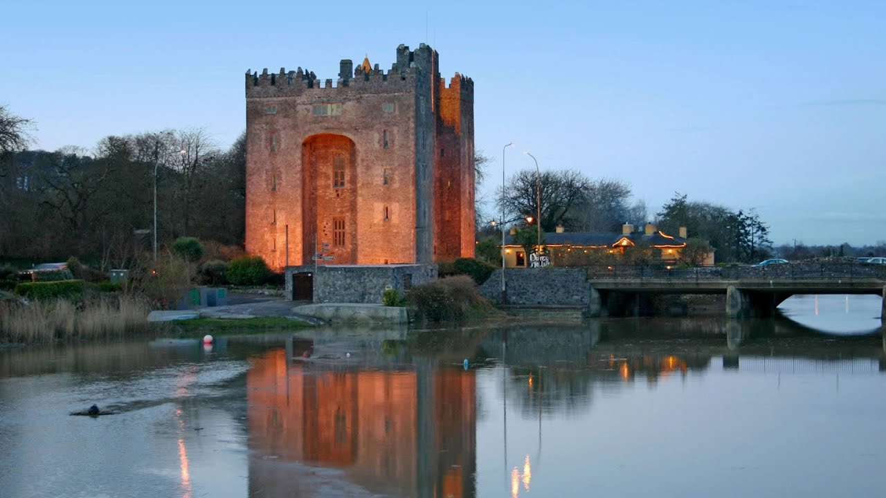 Castle (in ruins)Castle, tower house · 753 yd
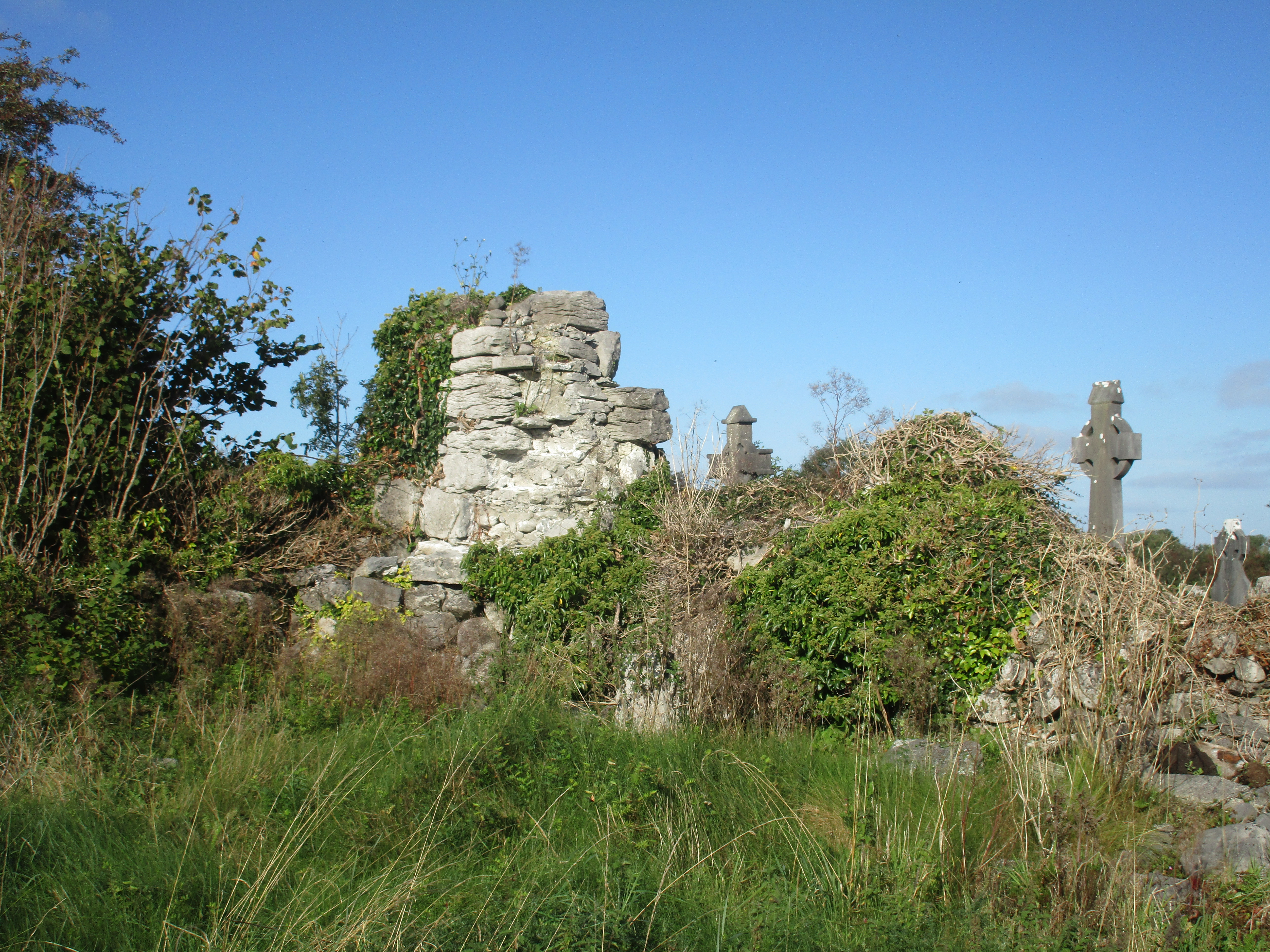 Church (in Ruins)Church · 1436 yd
 IndicatedFairy fort / stone ringfort · 1630 yd
 Enclosure in CarrownagoulEnclosure · 1.1 mi
 Burren National ParkNature reserve · 1.4 mi
 R.C. Chapel (in ruins)Church · 1.6 mi
 Glencolumbkille CastleCastle · 1.7 mi
 Kilnaloone GraveyardArchaeological place · 2.0 mi
 Slieve RoeMountain / peak · 2.0 mi
 Mullagh MoreMountain / peak · 2.5 mi
 Father Ted's HouseHeritage attraction · 3.1 mi
 Grave of Saint Mac Duagh's ServantArchaeological place · 3.3 mi