What is recorded here
On a slight rise near the top of a low ridge in pasture. Indicated on the first edition (1842) and hachured on the later, Cassini edition (1920) of the OS 6-inch map. This almost levelled, bivallate enclosure comprises an inner subcircular area (46m E-W; 40m N-S) defined by a low, gentle scarp and an outer enclosure (c. 78m NE-SW; c. 64m NW-SE) defined by a higher scarp, with faint traces of a bank W-N-W. The interior is generally level.
Compiled by: Gearóid Conroy and Conn Herriott
Date of upload: 12 May 2023
The monument record does not grant public access. Check the route and ask the landowner before entering private land.
- What survives
- Recorded monument
Places near here
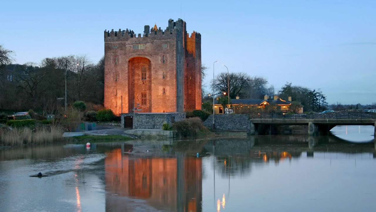 Castle (in ruins)Castle, tower house · 662 yd
 IndicatedFairy fort / stone ringfort · 1069 yd
 Enclosure in CarrownagoulEnclosure · 1237 yd
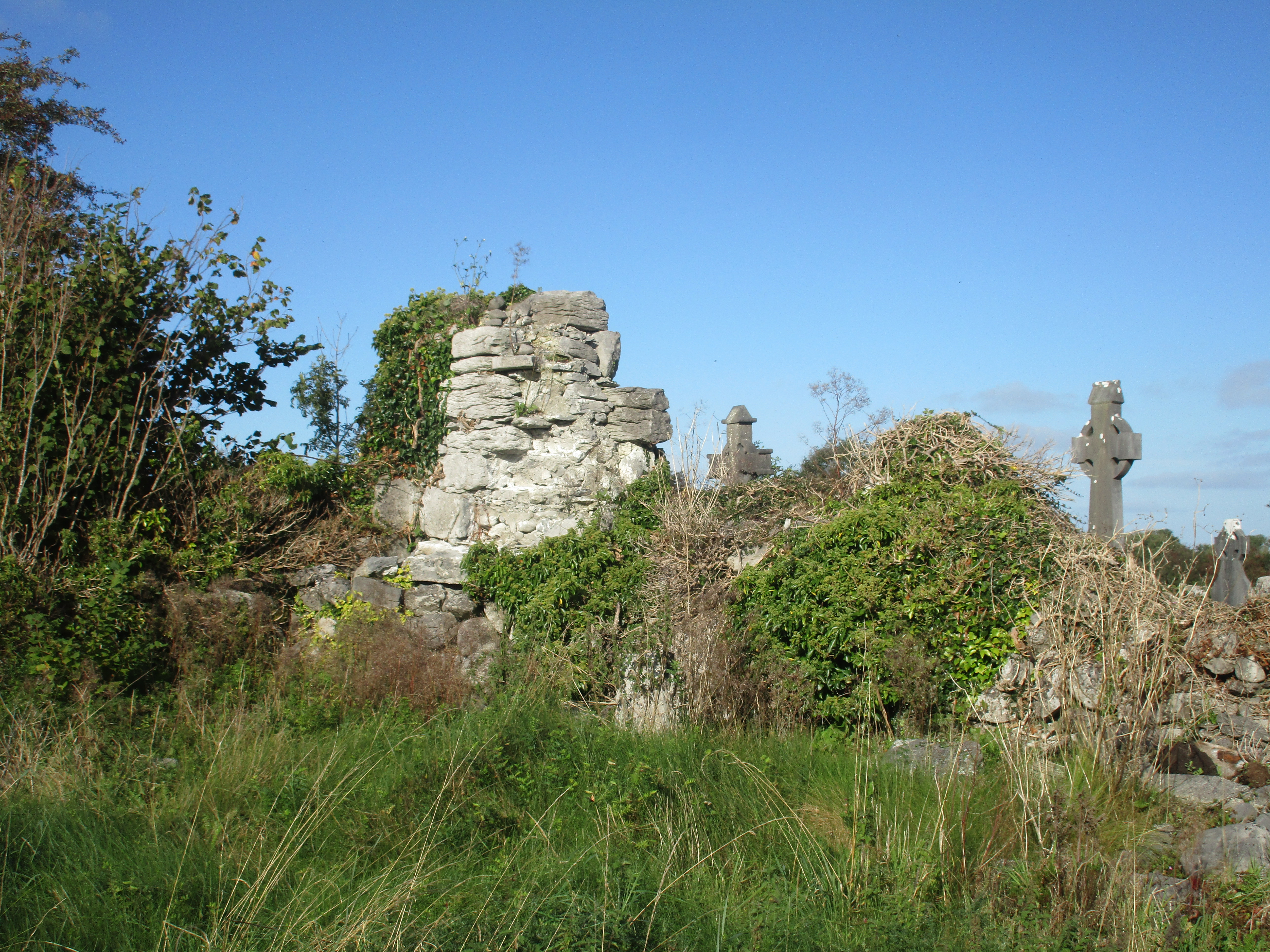 Church (in Ruins)Church · 1309 yd
 R.C. Chapel (in ruins)Church · 1.1 mi
 Cloondooan Castle (in ruins)Castle, tower house · 1.6 mi
 Burren National ParkNature reserve · 1.6 mi
 Slieve RoeMountain / peak · 2.0 mi
 Mullagh MoreMountain / peak · 2.4 mi
 Kilnaloone GraveyardArchaeological place · 2.5 mi
 Kilmacduagh MonasteryHeritage attraction · 3.2 mi
 Kilmacduagh Monastic SiteVisitor information · 3.3 mi