
What is recorded here
In undulating pasture, on the E-facing slope of a ridge. A slightly raised circular area (28m WNW-ESE) enclosed by an earthen bank, apart from a section (L 16m) NW-N where the bank has been levelled. The bank (Wth 3.7m; int. H 0.9m; ext. H 0.85m) has traces of possible internal and external stone facing. A slight…
Read the whole record
From the National Monuments Service (Archaeological Survey of Ireland) record SL025-053
Places near here
Photo credits
- National Inventory of Architectural Heritage
- spezifischer Zeichner : J. E. Walkowitz, Wikimedia Commons · CC BY-SA 3.0
- Digi-Telly, Wikimedia Commons · CC BY-SA 4.0
- Willow, Wikimedia Commons · CC BY 2.5
Explorer Tom Man-made underground passage in Carha has a bird that refuses to leave, probably because it likes the company of the blocked-up entrance. The stones are sticking out like an old man’s knuckles, looking grumpy and ready to argue about territory again. Bring the dog, it'll have opinions.
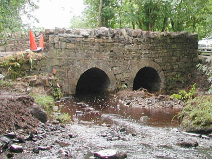 bridge1179 yd
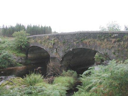 Carha BridgeBridge · 1499 yd
 Cabragh Wedge TombArchaeological place · 1.7 mi
Explorer Tom Cabragh Wedge Tomb would tell you in a job interview that it’s a team player who never needs a day off. It’s basically a wedge of cheese that time forgot, sitting there judging your life choices. Go with someone who loves old stuff and watch them melt.
 KnocknasheeMountain / peak · 2.0 miCloonaghMountain / peak · 3.0 miCastleCastle, unclassified · 3.6 mi
Explorer Tom Castle in Tullyhugh is where Father O’Flynn lost a bet over who could stack stones higher without falling over. Now it’s just a potato garden with some mortar mixed in, which is either genius or terrible luck. The castle vanished so fast even the ghosts got confused about where they were sleeping. If it rains, blame me.
 European ash3.9 miThe Turf Stack RockNamed rock · 4.4 mi
 Elder4.5 miBawn in Longford DemesneBawn · 4.6 mi
Explorer Tom Bawn in Longford Demesne hides a tunnel straight to the pub, or so the tall tales claim over pints of stout. The O'Dowds probably used it to smuggle more beer than they ever drank. Ten minutes here and you'll have a yarn for the pub.
RinnatalleenHeadland · 6.1 miMore archaeology and monuments in County Sligo · All of County Sligo

What do you know about this place?Tap to add a comment or ask a question