What is recorded here
Situated at the NE edge of a low ridge in coastal pasture. Depicted as a circular enclosure on the 1837 edition of the OS 6-inch map. The enclosure has been levelled but the outline of a circular area (diam c. 22m E–W) can still be discerned. It is defined by a slight scarp at W (H 0.6m) and at N (H 1.2m) where it merges with the ridge slope. There is a possible Man-made underground passage (SL012-051001-) in the interior. A derelict cottage abuts the SW of the enclosure, and the stone walls of a field plot overlie the SE quadrant.
Compiled by: Patrick F. O'Donovan
Date of upload: 19 January 2011
The monument record does not grant public access. Check the route and ask the landowner before entering private land.
- What survives
- Recorded monument
Places near here
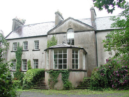 Doonycoycountry house · 911 yd
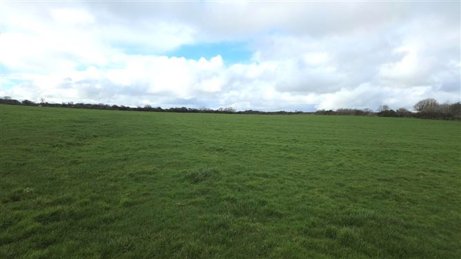 Man-made underground passage in BallyeeskeenMan-made underground passage · 1053 yd
 Fulacht fia in BallyeeskeenFulacht fia · 1096 yd
 Boat HouseRuins · 1184 yd
 CastleCastle, unclassified · 1740 yd
 DonaghHeadland · 1.2 mi
 Site of Dunneill CastleCastle, unclassified · 1.5 mi
 Aughris HeadHeadland · 3.1 mi
 Aughris BeachBeach / strand · 3.6 mi
 Dunmoran StrandBeach / strand · 4.4 mi
 Jim Smith MemorialMemorial · 5.0 mi
 Knockalongy South-West TopMountain / peak · 5.1 mi