What is recorded here
Not listed in the SMR (1989) but included in the RMP (1995) and classified 'Barrow'. This is one of a series of five small circular features depicted on the 1913 edition of the OS 6-inch map in the field immediately to the N of a large House, bearing the designation 'Sea View' on the 1837 map, which is traversed by the laneway leading to the house from the main road. Although the circular features are not shown on the 1837 map numerous trees are depicted within this field. This monument comprises a small circular area (12.8m N-S; 11.5m E-W) defined by a low earthen bank (Wth 1.5-1.6m; int. H 0.1-0.4m; ext. H 0.5-0.55m) with outer ditch (Wth 1.5m; D 0.3m). The interior is slightly raised and slopes gently to the E. It is almost certainly a tree-ring of post-1700 date.
Compiled by: Patrick F. O'Donovan
Date of upload: 31 July 2012
The monument record does not grant public access. Check the route and ask the landowner before entering private land.
- What survives
- Recorded monument
Places near here
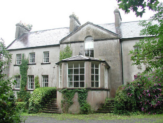 Doonycoycountry house · 321 yd
 Boat HouseRuins · 450 yd
 Fulacht fia in BallyeeskeenFulacht fia · 1138 yd
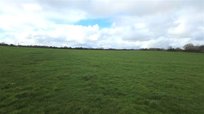 Man-made underground passage in BallyeeskeenMan-made underground passage · 1216 yd
 CastleCastle, unclassified · 1266 yd
 DonaghHeadland · 1.5 mi
 Site of Dunneill CastleCastle, unclassified · 1.9 mi
 Aughris HeadHeadland · 2.8 mi
 Aughris BeachBeach / strand · 3.2 mi
 Dunmoran StrandBeach / strand · 3.9 mi
 Knockalongy North-East TopMountain / peak · 4.8 mi
 KnockalongyMountain / peak · 4.8 mi