
What is recorded here
In pasture, located on a small drumlin. There is a stream/drain 80m to E and the Deel River is located 300m to S. This monument is shown on the 1838 and 1922 OS 6-inch maps as a subcircular ringfort-sized enclosure (diam. c. 20m). It has been levelled; there is no visible trace at ground level.
There is a possible rath (MA038-019001-) with a children’s burial ground (MA018-019002-) 40m to SW, and another possible rath (MA038-018001-) with a children’s burial ground (MA018-018002-) c. 190m to NW.
Compiled by: Jane O'Shaughnessy
Date of upload: 24 July 2019
Carrowkilleen is a likely early-medieval ringfort situated on a small drumlin, indicated on 19th-century maps as a subcircular enclosure. Local tradition may associate such sites with fairy lore, though specific folklore for this example is not recorded.
This remains an important historical record, but the official description says the monument is no longer visible or has been destroyed. The monument record does not grant public access. Check the route and ask the landowner before entering private land.
- What survives
- No visible remains or recorded as destroyed
Places near here
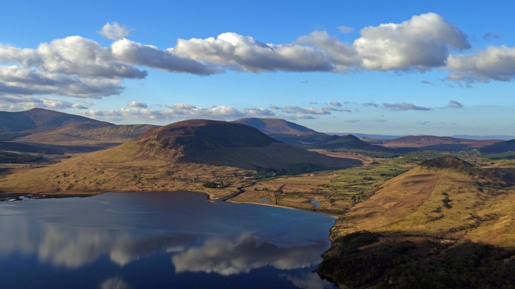 LisheenpastiaArchaeological place · 238 yd
 Rath moreArchaeological place · 876 yd
 Grave of the KingsArchaeological place · 1.1 mi
 RathmoreCastle, motte · 1.4 mi
 Catholic Church of Our Ladychurch/chapel · 1.7 mi
 Church in ruinsChurch · 1.7 mi
 Enaghmore Castle (in Ruins)Castle, unclassified · 2.0 mi
 Castle IslandIslet · 4.0 mi
 Roe IslandIslet · 4.4 mi
 Titanic Memorial ParkMemorial · 4.5 mi
 NephinMountain / peak · 5.0 mi
 KnockaffertaghMountain / peak · 7.4 mi
Other information
Photo: Credit not shown in the picture search · Rights wording not checked; contact us if this picture should be removed