What is recorded here
This is an early ecclesiastical site known as Uran Garadh, which was also known as Uran O'Clabaigh or the well of O'Claggy. This family were the medieval coarbs or lay patrons and continued down to the 19th century. Traditionally the holy well (RO034-080009-) was established by St Patrick, who installed St Cethac as the first abbot, but nothing is known of its subsequent history except that it is listed as Foran in the ecclesiastical taxation of Elphin in 1306 (Cal. doc. Ire., vol. 5, 224), and its coarb is mentioned in 1556 (AFM vol. 5, 1543). It is situated towards the bottom of the S-facing slope at the SE end of a broad NW-SE ridge.
The church, of which only a portion of the N wall survives (L 5.6m; H 3.8m; T 0.7m), was also probably the medieval parish church of Oran. One piece of carved stone (RO034-080015-) from the impost of a doorway and decorated with alternate plain and zig-zag bands survives in the graveyard. The round tower (RO034-080003-) (ext. diam. 5.8m; int. diam. 3.4m; surviving H 3.6m) is 15m WSW of the church wall. Its lower courses are in a conglomerate stone (H 2m) and those above are in limestone. These were within a circular graveyard (RO034-080002-) (diam. c. 70m, 1929 OS 6-inch map), but the graveyard has now expanded W to a N-S section of the N 60 Castlerea-Roscommon road and N to an E-W field bank (max. dims c. 150m N-S; c. 200m E-W). The expanded graveyard has destroyed earthwork features (RO034-080005-) in this area marked on the 1929 ed. of the OS 6-inch map, but traces of a field system (RO034-081007-) survive in the fields to the N and E of the graveyard. An earthwork mound (RO034-080014-) survives within the graveyard. Archaeological testing (01E0422) just NW of the extended graveyard failed to produce any related archaeological features (Read 2003c). St Patrick's holy well (RO034-08010-) is just W of this road, while rath (RO03408008-) and holy well (RO034-080009-) are c. 80m NW of this well. Rath (RO034-081001-) is c. 160m to the ESE of the church.
Compiled by: Michael Moore
Date of upload: 24 August 2010
The church at Carroweighter, associated with the medieval O'Claggy family as coarbs or lay patrons, was likely built in the early medieval period, possibly by a local monastic community. Its dedication and specific architectural style are not recorded, but it reflects the continuity of ecclesiastical tradition in the region from early Christian times through the 19th century.
The monument record does not grant public access. Check the route and ask the landowner before entering private land.
- What survives
- Recorded monument
Places near here
 IndicatedRound tower · 20 yd
 Cross in OranCross · 81 yd
 HawthornHawthorn · 95 yd
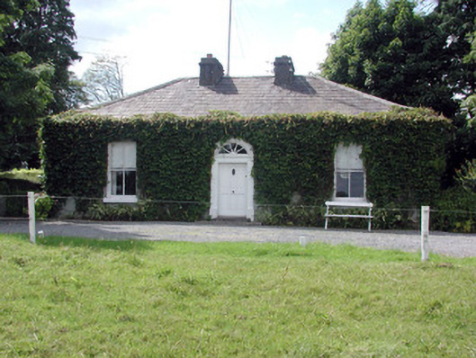 Ballydooley Lodgegate lodge · 993 yd
 Old KilnKiln · 1213 yd
_-_geograph.org.uk_-_1952978.jpg?width=1280) Bawn in Glinsk (ballymoe By.)Bawn · 4.1 mi
Bawn in Glinsk (ballymoe By.)Bawn · 4.1 mi European ashEuropean ash · 4.4 mi
 CastleCastle, Anglo-Norman masonry castle · 4.6 mi
 Site of Killomaine Grave YardArchaeological place · 4.6 mi
 Roscommon CastleCastle · 6.6 mi
 Sally IslandIslet · 7.1 mi
 Mount MaryMountain / peak · 7.5 mi