What is recorded here
Indicated is a grassy fairy fort on a Mayo ridge, its earthen scarp still standing after centuries of rain and traffic. The N5 road cuts through the slope twenty metres away, yet the circle remains unbroken except where animal burrows and old field boundaries have bitten into it. A hidden cave may still lie beneath the central trigonometric point, waiting for someone brave enough to stop pretending the land is ordinary.
In pasture, located on top of a ridge, straddling the SW-facing slope, with excellent views, especially to SE–W over lowlying tracts of average and wettish pasture. The N5 road cuts through the ridge slope 20m to NW of the rath.
Raised circular area (33m E–W; 30.4m N–S) defined by an earthen scarp. At NE there is a slightly raised stony rim (Wth 1m) on the top edge of the scarp. At NNE–E the external face of the scarp (H 1.7m) is cut to the vertical and remnants of stone facing are evident; this appears to be the result of relatively recent incorporation of the rath into a system of field boundaries. These field boundaries, shown on the 1919 OS 6-inch map (1919), were removed in recent years. The enclosing scarp is lowest (H c. 0.75m) at E–SE, and a low, eroded section (Wth 2.4m) of scarp here may mark an original entrance. At SSE–SW the scarp (H 2.4m) has a pronounced external slope enhanced by the natural fall of ground. There are eroded gaps or breaks at SE (Wth 0.6m) and at NW (Wth 3m).
The centre of the interior appears slightly raised with a gentle slope down from there to NE–E. On the highest point in the centre there is a low cairn of stones supporting a flat slab that marks an OS trigonometrical station. A Man-made underground passage (MA062-081002-), marked as ‘Cave’, is indicated in the centre of the rath on the 1837 and 1919 OS 6-inch maps.
The rath is grass-covered, with gorse and hawthorn on the perimeter. Several animal burrows cut through the scarp and the interior. Two raths (MA062-082----; MA072-002----) are located 100m to ESE, and 260m to SE, respectively, and another rath (MA062-080----) is c. 270m to NW.
Compiled by: Jane O’Shaughnessy
Date of upload: 25 November 2020
The monument record does not grant public access. Check the route and ask the landowner before entering private land.
- What survives
- Recorded monument
Places near here
 IndicatedFairy fort / earthen ringfort · 1075 yd
 ToberbrideHoly well · 1272 yd
 bridgebridge · 1434 yd
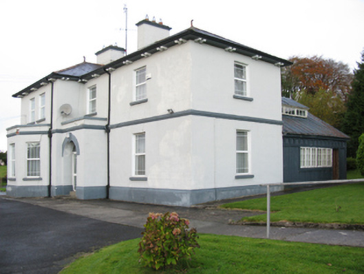 Catholic Church of Our Lady Help of Christianspresbytery/parochial/curate's house · 1513 yd
 Brabazon WoodsForest · 1525 yd
 Youth Memorial GardenMemorial · 1.1 mi
 Procession Of The SoulsMemorial · 1.2 mi
 Thorn CaveCave · 2.5 mi
 HawthornHawthorn · 3.2 mi
 Castle (in Ruins)Castle, unclassified · 3.4 mi
 Hennigan's Heritage CentreHeritage attraction · 3.5 mi
 Kiltimagh MuseumMuseum · 5.8 mi