What is recorded here
In pasture, straddling the NE-facing slope of a rise. There is a stream, coinciding with the N boundary of the townland 100m to N.
Raised circular area (21.6m NNE−SSW; 23.5m ESE−WNW) defined by a drystone wall (Wth 1.7m; int. H 1.4mm; ext. H 1.5m at SW). On the NE arc the enclosure is built up to create a level interior and compensate for the natural slope. As a result, the enclosing wall at N−E consists of a high stone-faced external scarp (ext. H 2m); the internal wall face is low (H 0.15m) and largely tumbled and in parts at NE barely rises above interior ground level.
There is an entrance gap (Wth 1.8m) at SSW. The wall terminal on the E side of the gap incorporates large stones and projects outwards slightly.
A field wall, which coinciding with the townland boundary between Carrowbaun and Rabaun, crosses the enclosure to SE of centre. In the N half of the interior, there is a narrow gully/trench (L 5m NNE−SSW; W 0.4m, 1m at N end; D 0.3-0.4m) of uncertain significance.
Compiled by: Jane O’Shaughnessy
Date of upload: 16 February 2021
The monument record does not grant public access. Check the route and ask the landowner before entering private land.
- What survives
- Recorded monument
Places near here
 IndicatedFairy fort / earthen ringfort · 1336 yd
 ToberbrideHoly well · 1.0 mi
 Brabazon WoodsForest · 1.2 mi
 Cashel National Schoolschool · 1.3 mi
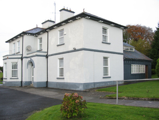 Catholic Church of Our Lady Help of Christianspresbytery/parochial/curate's house · 1.3 mi
 Youth Memorial GardenMemorial · 1.5 mi
 Procession Of The SoulsMemorial · 1.6 mi
 Thorn CaveCave · 2.3 mi
 HawthornHawthorn · 3.7 mi
 Castle (in Ruins)Castle, unclassified · 3.9 mi
 Hennigan's Heritage CentreHeritage attraction · 4.0 mi
 Kiltimagh MuseumMuseum · 5.5 mi