What is recorded here
Marked as an irregularly-shaped field (dims. c. 75m E-W; c. 65m N-S) incorporating the townland boundary with Carrigeennageeragh Big at N on the 1840 ed. of the OS 6-inch map, and as an oval enclosure within a field on the 1927 ed. This is a possible early ecclesiastical site (Power 1952, 156) situated on a slight rise at the S base of Carrigmoorna Hill.
An oval grass-covered area (dims. 73m E-W; 57m N-S) is defined by a scrub-covered earthen bank (Wth 5-5.6m; int. H 0.6-0.8m; ext. H 1.7-2m) and outer fosse (max. Wth at base 3.5m; D 0.6-1m) N-SE, and by the fosse (Wth of top 3-3-4.4m; int. D 1.3-1.5m; ext. D 0.6-0.9m) elsewhere. It is surrounded by a complete field bank. There is a modern entrance (Wth 2.6m) and causeway (Wth 7m) at ESE. There is a D-shaped bullaun stone (WA023-030002-) (dims. 0.6m x 0.6m; max. H 0.33m) of conglomerate with a single basin (diam. 0.27-0.3m; D 0.1m) in the interior.
Power, Rev. P. (1952) The placenames of the Decies. (second ed.) Cork University Press.
The above description is derived from the published 'Archaeological Inventory of County Waterford' (Dublin: Stationery Office, 1999). In certain instances the entries have been revised and updated in the light of recent research.
Date of upload/revision: 3rd August, 2010.
The monument record does not grant public access. Check the route and ask the landowner before entering private land.
- What survives
- Recorded monument
Places near here
 Church in Shanbally (decies Without Drum By.)Church · 1 yd
 Burnt mound in BallynevogaBurnt mound · 948 yd
 Cliff-edge fort in CarrigmoornaCliff-edge fort · 1068 yd
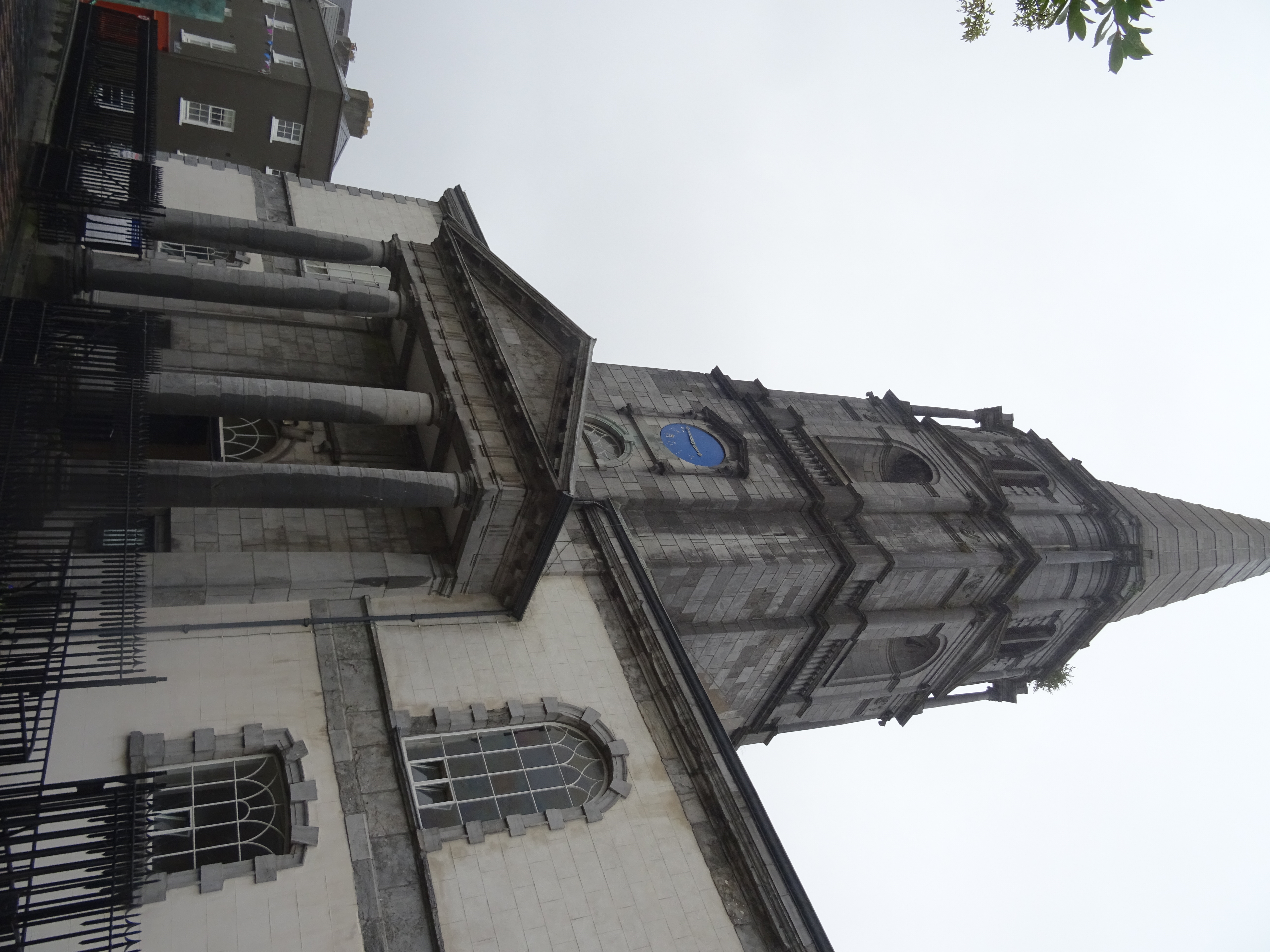 Church in EnglishtownChurch · 1653 yd
 Bawn in Castlequarter (decies Without Drum By., Kilrossanty Par.)Bawn · 1.4 mi
 Deelish MountainMountain / peak · 1.4 mi
 Bawn in BarnankileBawn · 2.0 mi
 Horse-chestnutHorse-chestnut · 2.3 mi
 CrohaunMountain / peak · 2.3 mi
 Dungarvan CastleCastle · 4.3 mi
 Standing StoneMemorial · 4.3 mi
 Dungarvan World War I MemorialMemorial · 4.3 mi