
Places near here
Photo credits
- Oliver Dixon, Geograph · CC BY-SA 2.0
- Andreas F. Borchert, Wikimedia Commons · CC BY-SA 4.0
- SE Keenan, Wikimedia Commons · CC BY-SA 4.0
- Kieran Campbell, Wikimedia Commons · CC BY-SA 2.0
- Real Group Photos / realboyle (Flickr account); individual photographer not stated, www.flickr.com
- Golfing in Ireland; photographer not stated, Source publisher
- Michael Murtagh, Geograph · CC BY-SA 2.0
- Sawyer777, Wikimedia Commons · CC BY-SA 4.0
- Dieglop, Wikimedia Commons · CC BY-SA 4.0
- Gillaween, Wikimedia Commons · CC BY-SA 4.0
 Loughbrick BayBay · 1210 yd
Explorer Tom Loughbrick Bay in County Sligo would tell you after a few pints that it actually swallowed a boat once but gave it back…
 Ballindoon Castle (in Ruins)Castle, unclassified · 1.0 mi
Explorer Tom Ballindoon Castle sits on a steep slope where the ground drops eight metres straight into Lough Arrow. The shortcut…
 Ballindoon Abbey (in Ruins)Religious house, Dominican friars · 1.3 mi
Explorer Tom Ballindoon Abbey overlooks Lough Arrow and the seagulls there are definitely plotting something, likely involving…
 Ballindoon AbbeyRuins · 1.3 mi
Explorer Tom Ballindoon Abbey is standing there like it's waiting for Saint Patrick to show up and tell it off again. He probably…
 Giants GravePortal tomb · 1.5 mi
Explorer Tom Giants Grave in Carrickglass is the site of a ridiculous smuggling story involving cheese and a very large roofstone.…
 Abbey Park, Boyle GAAGAA ground · 6.6 mi
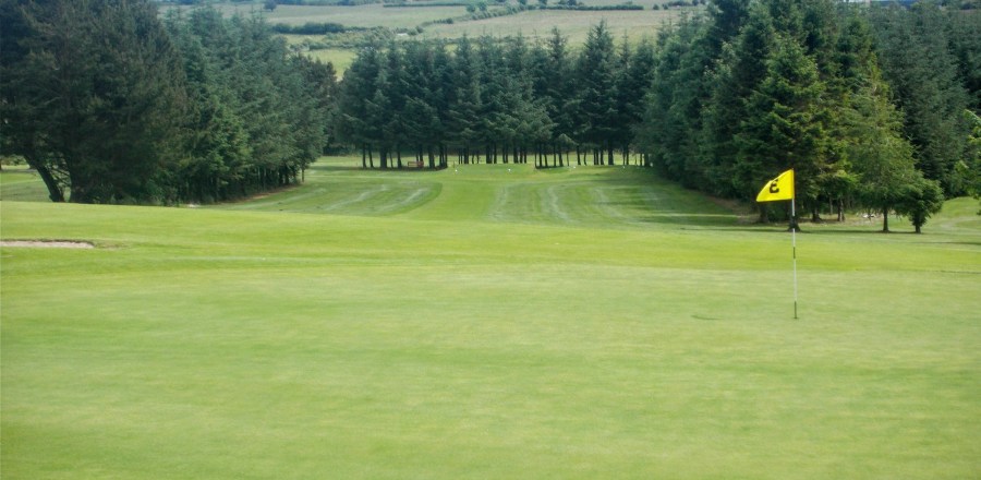 Boyle Golf ClubGolf course · 8.2 mi
 CrockaunsMountain / peak · 17 mi
Explorer Tom Crockauns bragged about surviving a storm so violent it rearranged its own topography and sent the local cows into a…
 Queen Medb: RathcroghanLegend location · 18 mi
Explorer Tom Queen Medb: Rathcroghan is where the Táin starts turning a quarrel about a bull into an epic. Medb had a royal seat…
 Glencar IslandIslet · 19 mi
Explorer Tom Glencar Island in County Leitrim would complain to the council about the noise levels from the swans, claiming they’re…
 Glencar WaterfallVisitor information · 19 mi
Explorer Tom Glencar Waterfall in County Leitrim gave up sugar for Lent but ended up eating a whole wheel of cheese instead anyway.…
 The Mórrígan: OweynagatLegend location · 19 mi
Explorer Tom The Mórrígan: Oweynagat is called the Cave of Cats, which fooled me into expecting a very ordinary sort of trouble.…
More archaeology and monuments in County Sligo · All of County Sligo

What do you know about this place?Tap to add a comment or ask a question