What is recorded here
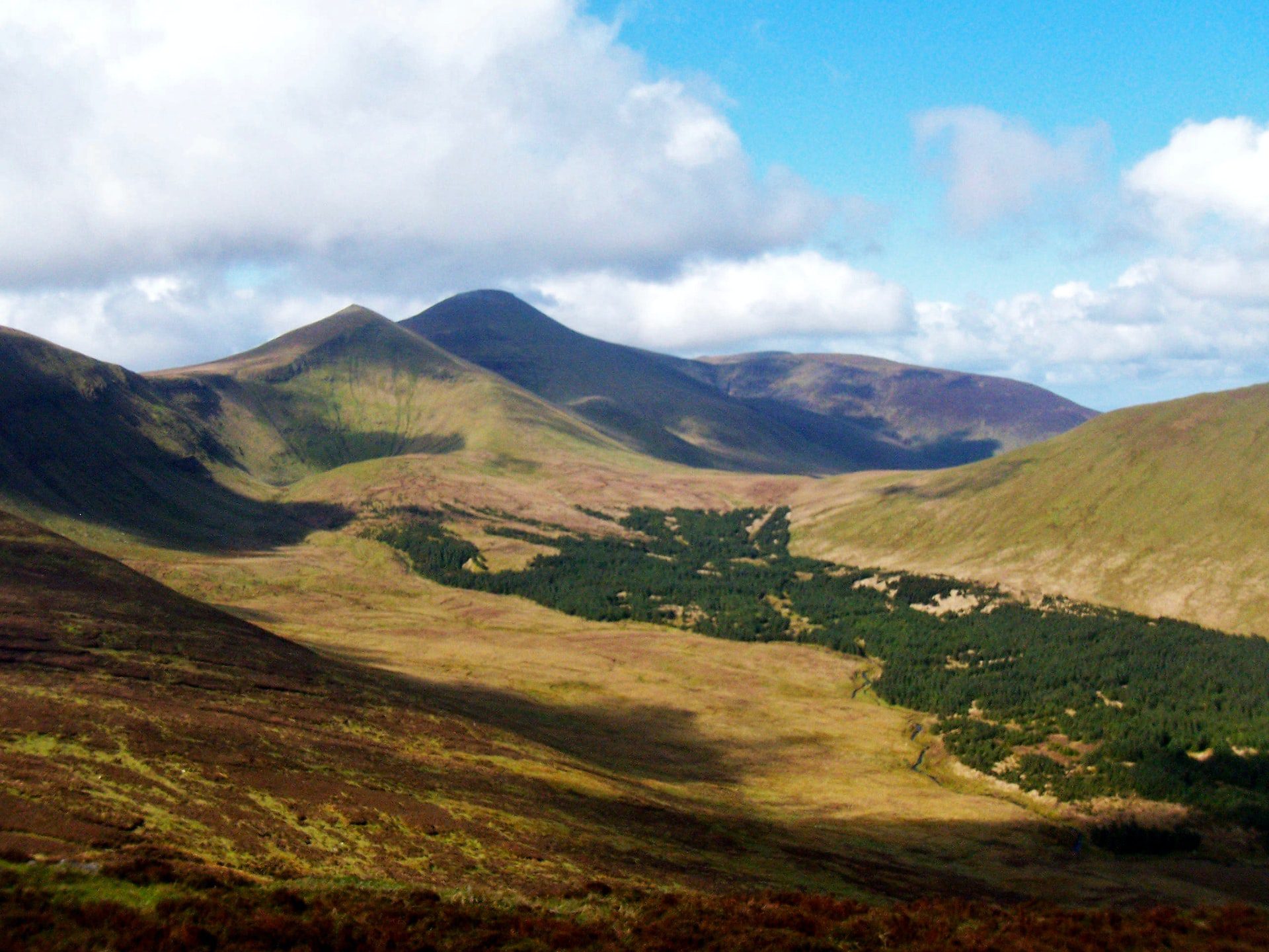
In rough upland pasture, on steep W facing slope of Knocknascrow with good views to N. Circular-shaped area (diam. 18m) enclosed by well-preserved dry-stone wall (base Wth 0.9-1.1m; top Wth 0.35-0.45m; H 1.5-1.7m) with entrance gap (Wth 1.2m) at S. Enclosing wall stands to full height except at SSW where there is some collapse. Radial walls (L c. 11m; H 1.5m) extend outwards from E, S and W. These radial walls are not bonded to the cashel wall. Not depicted as an antiquity on Cassini ed. OSi 6-inch map where it is outlined as a circular-shaped feature. OSi designation may suggest a post-1700 date for the construction of this enclosure.
See attached sketch plan of cashel.
Compiled by: Caimin O’Brien
Date of upload: 20 October 2021
The monument record does not grant public access. Check the route and ask the landowner before entering private land.
- What survives
- Recorded monument
Places near here
 Hut site in KnocknascrowHut site · 493 yd
 Hut site in Carrigeen MountainHut site · 941 yd
 OutlinedKiln, lime · 1006 yd
 Eagles StepCliff · 1192 yd
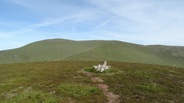 MonabrackMountain / peak · 1369 yd
 Coopers WoodWood · 1.3 mi
 Temple HillMountain / peak · 1.7 mi
 Assaroula WaterfallWaterfall · 2.0 mi
 Combaun WoodsViewpoint · 2.2 mi
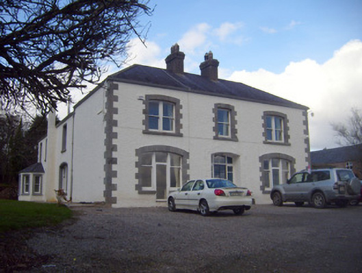 Loughananna Househouse, gate lodge · 2.2 mi
 Aircraft Memorial 1976Memorial · 2.4 mi
 Kilbeheny Castle (in ruins)Castle, tower house · 2.6 mi
Other information
Photo: Credit not shown in the picture search · Rights wording not checked; contact us if this picture should be removed