What is recorded here
Indicated is a circular earthen fort on a Mayo ridge, broken by cattle and topped with a later field wall. It faces the Glore River and an adjacent rath, suggesting a small cluster of human activity rather than a lone marker. The bends and gaps preserve more life than formal design, inviting imagination about who shaped them and when.
In pasture/grazing, located at the NW end of a NW−SE ridge, with excellent view to N. Ground falls away to NW to an area of bog and pasture which stretches to the Glore River 200m to NE. There is a gentle rise in ground to SSE.
Raised circular area (31m E−W; 30.9m N−S) defined by an earthen bank (Wth 4m; int. H 0.35m;ext. H 2m), outside which it is encircled by a fosse (Wth c. 3m) with an external bank (Wth 3.8m; int. H 0.55m; ext. H 0.8m). The inner bank has a broad external slump; large stones protrude from its inner face at SE. The outer bank (Wth c. 5m; int. H 0.3m) is low at N−NE, with a broadly slumped external slope (H c. 1.8m) merging with the natural fall of ground; it is topped with a later field wall at E−SSW.
There is a break in the inner bank (Wth 3m) at NNE, which is greatly eroded by cattle, and another break (Wth 4m) at SW; it is not clear if either is an original entrance.
A field wall (Wth 0.6m; H 0.6m) on a NE−SW axis crosses the interior to NW of centre.
Grass cover, with moderate hawthorn and brambles around the perimeter.
There is another rath (MA080-021----) 100m to S.
Compiled by: Jane O’Shaughnessy
Date of upload: 30 November 2021
The monument record does not grant public access. Check the route and ask the landowner before entering private land.
- What survives
- Recorded monument
Places near here
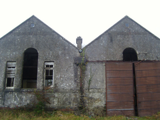 Lisduff National Schoolschool · 1146 yd
 CrossCross · 1344 yd
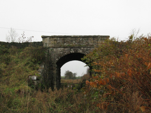 bridgebridge · 1590 yd
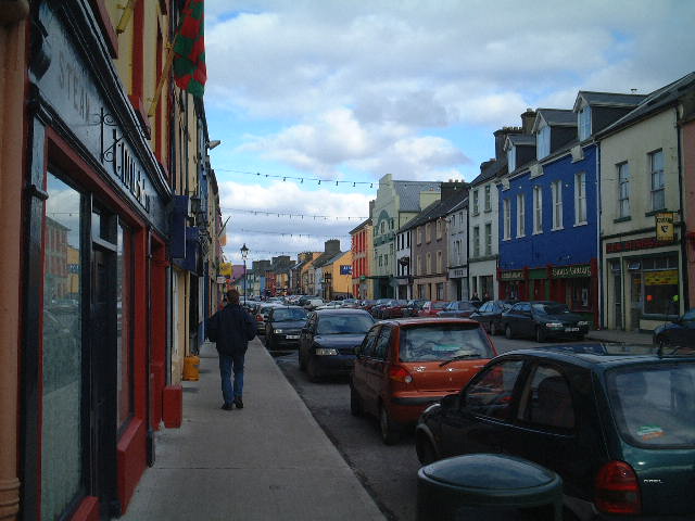 IndicatedFairy fort / ringfort · 1.1 mi
 Kiltimagh MuseumMuseum · 1.2 mi
 I'll Send You The FareMemorial · 1.3 mi
 Thorn CaveCave · 2.5 mi
 Carrowbeg WoodWood · 3.4 mi
 CashlankeeghCastle, unclassified · 3.4 mi
 East Mayo Brigade MonumentMemorial · 4.8 mi
 Knock ShrineHeritage attraction · 5.3 mi
 Castle in ruinsCastle, tower house · 5.5 mi