What is recorded here
In pasture, with views S to The Paps of Dana. Indicated as an oval enclosure (c. 30m NW-SE; c. 20m NE-SW) on the 1894 OS 6-inch map, next to a farmyard. There are no visible remains of this enclosure apart from a scatter of stones.
From the National Monuments Service (Archaeological Survey of Ireland) record KE068-118
This remains an important historical record, but the official description says the monument is no longer visible or has been destroyed. The monument record does not grant public access. Check the route and ask the landowner before entering private land.
- What survives
- No visible remains or recorded as destroyed
Places near here
Photo credits
- National Inventory of Architectural Heritage
- Colin Park, Geograph · CC BY-SA 2.0
- Donal.hunt, Wikimedia Commons · CC BY-SA 4.0
- Peter Gerken, Geograph · CC BY-SA 2.0
- Marathon, Geograph · CC BY-SA 2.0
- EecherplazGinkgo06.jpg : Cayambe derivative work: Ginkgotree ( talk ), Wikimedia Commons · CC BY-SA 3.0
- Vadim Manuylov, Wikimedia Commons · CC BY-SA 3.0
- Pam Brophy, Wikimedia Commons · CC BY-SA 2.0
- Graham Horn, Geograph · CC BY-SA 2.0
Enclosure in CarranEnclosure · 565 ydMass-rock in Shrone BegMass-rock · 1456 yd Saint Joseph's Catholic ChurchChurch/chapel · 2.5 miThe Paps WestMountain / peak · 2.7 miRathmore Railway StationRailway station · 3.7 miCaherbarnagh nw TopMountain / peak · 4.5 miCastlelough BayBay · 9.4 miMonsignor Hugh O'Flaherty MemorialMemorial · 9.5 miGinkgo9.6 miMonterey Cypress9.7 miTorc WaterfallWaterfall · 9.9 miMuckross Lake WalkWalking route · 10 mi
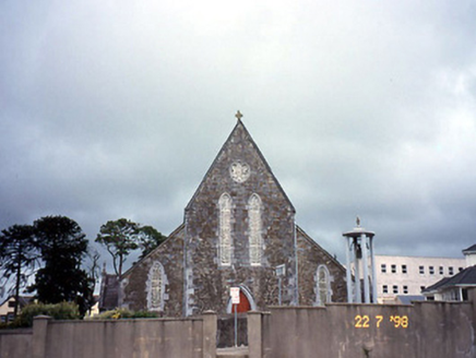 Saint Joseph's Catholic ChurchChurch/chapel · 2.5 mi
 The Paps WestMountain / peak · 2.7 mi
 Rathmore Railway StationRailway station · 3.7 mi
 Caherbarnagh nw TopMountain / peak · 4.5 mi
 Castlelough BayBay · 9.4 mi
 Monsignor Hugh O'Flaherty MemorialMemorial · 9.5 mi
 Ginkgo9.6 mi
 Monterey Cypress9.7 mi
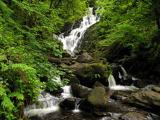 Torc WaterfallWaterfall · 9.9 mi
 Muckross Lake WalkWalking route · 10 mi
More archaeology and monuments in County Kerry · All of County Kerry
What do you know about this place?