DDiscover AloneMapAbout

Fairy fort or earthen ringfort in Carn More

Fairy fort / earthen ringfort
Computer-made picture that does not show Fairy fort or earthen ringfort in Carn MoreNot a photo of this monument
Computer-made picture. It does not show this monument. · Report the wrong picture

What is recorded here

In a thicket of overgrowth at the S end of a pasture field, located on a fold in sharply undulating terrain. Overlooked immediately to SW by the steeply rising slope of a ridge. Substantially raised, circular platform (c. 37.7m NNW–SSE) defined by a scarp, topped with a stony internal rim, and enclosed by a fosse with…

Read the whole record
In a thicket of overgrowth at the S end of a pasture field, located on a fold in sharply undulating terrain. Overlooked immediately to SW by the steeply rising slope of a ridge. Substantially raised, circular platform (c. 37.7m NNW–SSE) defined by a scarp, topped with a stony internal rim, and enclosed by a fosse with remnants of an external bank. The pronounced enclosing scarp (ext. H 1.75m at SSW, 1.8m at NNE) has a low internal rim (W 2–3m; int. H 0.3-0.4m) of earth and stone, giving an overall width of the scarp/bank of 6–6.5m. At ESE–S it is topped by a low jumble (Wth 2-2.5m) of stones, set 1.5-2m in from the top edge of the scarp; this appears to be the remnants of a later field. The fosse (Wth c. 3m) can be traced as a shallow depression for much of the circuit, but is not evident at NE−ESE; at SE–S it is filled with heaps of loose stones/field clearance debris. Remnants of the external bank (Wth c. 2-2.5m; int. 0.45m; ext. H 0.4m, at N) can be traced at N and SE; it cannot be traced at NE–ESE. At S–NNW there is a later field fence at the outer edge of the fosse, which may preserve the original curve of the external bank. The entrance is at the NE where there is a gap (Wth 2m) in the inner scarp/bank, faced with a low stone kerb on its W terminal and blocked with field clearance debris at its outer edge. The rath interior is level, the surface largely denuded of sod due to the dense canopy of overgrowth. In the SW quadrant there is a low, linear heap (8m NE–SW; 3m NW–SE) of earth and stone, partly moss-covered, probably a field clearance heap; a fragment of a quern stone (max. dim. 0.29m; radius 0.19m central perforation to outer edge), including part of the central perforation (diam. 7cm; D 5cm), was noted amongst the loose stones. Dense blackthorn and brambles engulfs the rath interior; hazel and hawthorn trees ring the perimeter.

From the National Monuments Service (Archaeological Survey of Ireland) record MA082-030

The monument record does not grant public access. Check the route and ask the landowner before entering private land.

What do you know about this place?Tap to add a comment or ask a question

What you write will be public.

Places near here

Photo credits
  • National Inventory of Architectural Heritage
  • David Purchase, Geograph · Creative Commons Attribution-ShareAlike 2.0
  • Mike Searle, Geograph · CC BY-SA 2.0
  • Duncan Grant, Wikimedia Commons · CC BY-SA 2.0
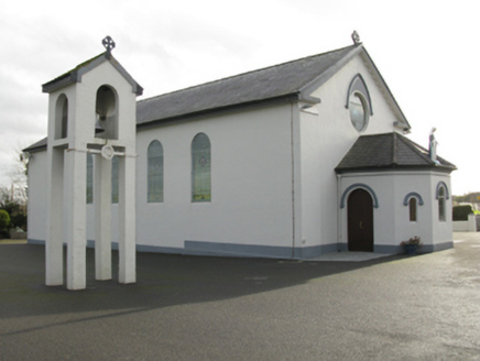
Catholic Church of Saint Mary and Saint MichaelChurch/chapel · 1.4 mi

Explorer Tom Catholic Church of Saint Mary and Saint Michael in Cloongawnagh refuses to fall down because it’s too proud of its Romanesque style. It’s got that arched look that makes it seem very serious indeed. Dare you to say hello to it out loud.
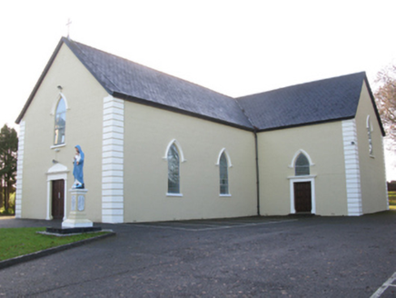
Saint Joseph's Catholic ChurchChurch/chapel · 1.7 mi

Explorer Tom Saint Joseph's Catholic Church in Killeen has a hidden tunnel to the pub, or so the legend goes. It’s got that pointed Gothic style that looks like it’s trying to fly. Count the crosses if you dare to get lost in thought.

Tighe Achadh MórHouse · 1.7 miGrave YardGraveyard · 1.7 mi

Explorer Tom Graveyard in Aghamore would post a photo of its mossy headstones with the caption 'Living my best quiet life, #ancient'. It’s got that moody, atmospheric vibe going on that makes you feel instantly profound. Have a wander and a wonder.
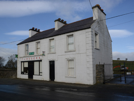
T.j. RogersHouse · 1.8 miCastleCastle, unclassified · 2.1 miIndicatedHouse, fortified house · 2.1 mi

Explorer Tom House in Island is currently being judged by rabbits who think its gunloops are just fancy holes for them to hide in. They’re not wrong, actually. Get there early and have it all to yourself.

East Mayo Brigade MonumentMemorial · 4.1 miCashelFairy fort / stone ringfort · 6.5 mi

Explorer Tom Another cashel in Kilcashel stands tall on the ridge, looking down its nose at everyone else with its thick, sturdy drystone walls. The builder was definitely thinking about views when they stacked those rocks, ignoring the wind and the cold completely. Bring biscuits, every good story needs biscuits.

Kiltimagh MuseumMuseum · 8.6 miI'll Send You The FareMemorial · 8.9 miThorn CaveCave · 9.5 mi

More archaeology and monuments in County Mayo · All of County Mayo

Add to this placeAdd a picture Add a detailed tip Add a story

Explore the map1,093,392 places to discover

Next place · or swipeCatholic Church of Saint Mary and Saint Michael