What is recorded here
Marked 'Can' on OS 1836 and 1876 eds. Circular area (int. diam. c. 30m) enclosed by a low earthen bank, skirted by a modern drain from SW-W-NW. Original entrance not recognisable. Internal area slopes steeply from E-W.
The above description is derived from the published 'Archaeological Inventory of County Cavan' (Dublin: Stationery Office, 1995). In certain instances the entries have been revised and updated in the light of recent research.
Date of upload/revision: 22 December 2008
The monument record does not grant public access. Check the route and ask the landowner before entering private land.
- What survives
- Recorded monument
Places near here
 CarnMountain / peak · 42 yd
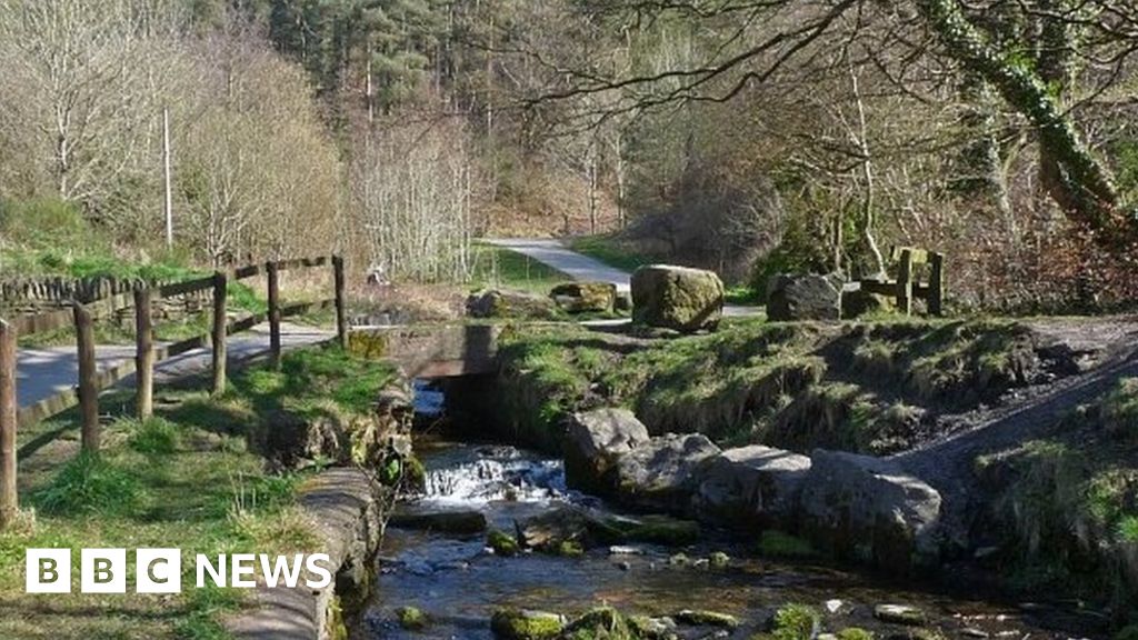 Carn ForestForest · 510 yd
 Cornahilt ForestWood · 898 yd
 Peace BenchMemorial · 956 yd
 Christ Churchchurch/chapel · 1200 yd
 Church of IrelandMemorial · 1261 yd
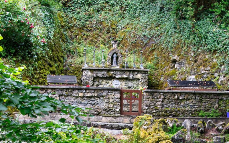 Holy WellHoly well · 1299 yd
 St Joseph's Roman Catholic Churchchurch/chapel · 1318 yd
 The GPO ExhibitionMuseum · 1434 yd
 Reflective SpaceMonument · 1454 yd
 Aghalion HillMountain / peak · 1.2 mi
 Saint Joseph's ChurchMemorial · 1306 yd