What is recorded here
On the crest of a NW-SE ridge, towards its NW end. Subcircular flat-topped and grass-covered mound (dims of base 19.7m ENE-WSW; 18.4m NNW-SSE; dims of top 14m ENE-WSW; 14.7m NNW-SSE; H 0.6m at E to 1.2m at W) separated by a rounded fosse (Wth of base 2-2.5m) or berm (Wth 3m) from an outer overgrown bank (Wth 5-8m; int. H 0.2-0.4m; ext. H 1.2-1.6m). This is surrounded by a field bank and hedge (max. ext. dims 38.8m NNW-SSE; 38m ENE-WSW). It is within ceremonial enclosure (RO027-047002-). (Herity 1984, 138)
See the attached aerial image taken from the E.
Compiled by: Michael Moore
Date of upload: 24 August 2010
The monument record does not grant public access. Check the route and ask the landowner before entering private land.
- What survives
- Recorded monument
Places near here
 IndicatedCeremonial enclosure · 5 yd
 Enclosure in Milltown (castlereagh By., Castleteheen Ed)Enclosure · 732 yd
 Quarry in Ardlagheen More OR Highlake,carrowduff UpperQuarry · 1.2 mi
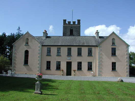 Highlake Housemonastery · 1.8 mi
 CastlerubyCastle, unclassified · 2.9 mi
 ToberagullaSpring · 3.6 mi
 European ashEuropean ash · 3.6 mi
 HawthornHawthorn · 4.1 mi
 Cruachan Aí Heritage CentreMuseum · 4.2 mi
 Leitrim CastleCastle, unclassified · 6.0 mi
 Site of Killomaine Grave YardArchaeological place · 7.5 mi
 Roscommon CastleCastle · 8.2 mi