What is recorded here
Located on a slight rise on the E shores of Lough Conn. This enclosure is depicted on the 1838 OS 6-inch map as a roughly oval embanked enclosure (c. 40m N–S; c. 38m E–W) encompassing the full width of a small peninsula jutting into the E side of Lough Conn; the land immediately to N is marked as ‘Flooded’. On the 1930 6-inch map it is shown as a roughly square area (43m NW–SE; 39m NE–SW), outlined by a dashed line, and bordered to N by land labelled as ‘Liable to flood’.
The enclosure is engulfed in an impenetrable thicket of blackthorn, and it is not possible to fully inspect and record it. In parts at N–NE, a low enclosing bank (Wth 3m; int. H 0.4m; ext. H 0.6m) can be seen.
Compiled by: Jane O’Shaughnessy
Date of upload: 27 January 2020
The monument record does not grant public access. Check the route and ask the landowner before entering private land.
- What survives
- Recorded monument
Places near here
 IndicatedFairy fort / earthen ringfort · 888 yd
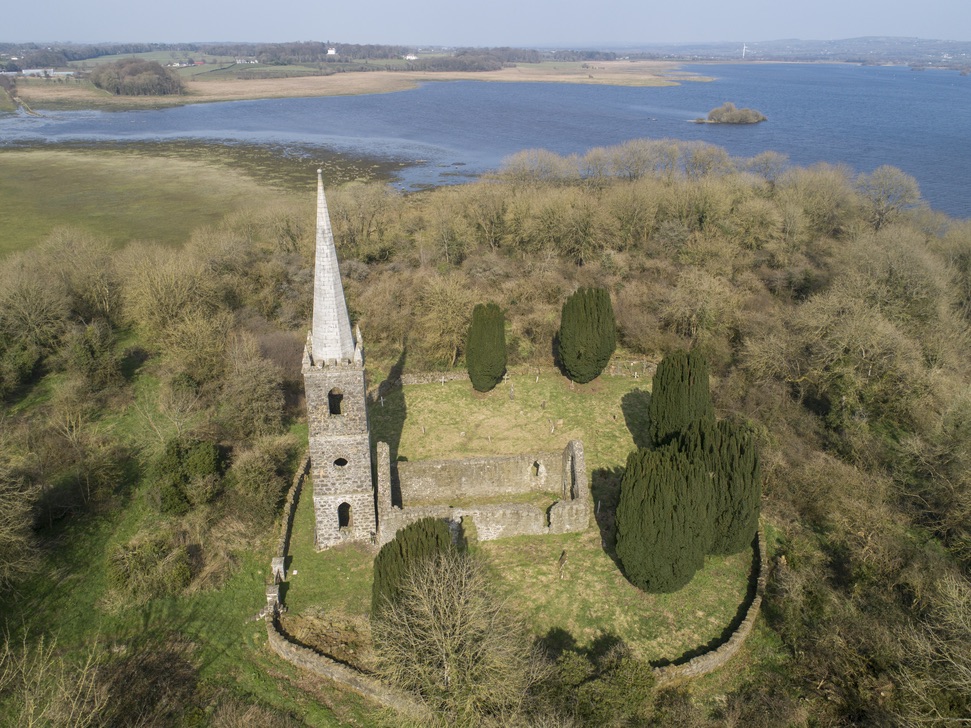 Church in Inishlee IslandChurch · 913 yd
 Saint Teresa's Catholic Churchchurch/chapel · 1663 yd
 Castle Kelly (in Ruins)Castle, motte · 1723 yd
 RathnashuppyFairy fort / earthen ringfort · 1.1 mi
 Roe IslandIslet · 1.8 mi
 Cloghans CastleCastle, tower house · 1.9 mi
 Castle IslandIslet · 2.1 mi
 Battle of Ballinabattle · 4.1 miHumbert MonumentMemorial · 4.5 mi
 Titanic Memorial ParkMemorial · 4.6 mi
 Belleek WoodsWood · 5.6 mi