What is recorded here
Indicated is a boulder-burial on a bog-covered slope beside the Owenbeg river, where a massive stone still arches over a hidden chamber. It sits within a broken circle on Maughanaclea hill, exposing only one support beneath its broad back. The chamber has been closed since antiquity, yet the stones still hold the shape of the hands that arranged them.
On small platform on bog-covered SW extension of Maughanaclea hill, overlooking Owenbeg river basin. Centrally placed within multiple-stone circle (CO105-02901-). Cover-stone (1.6m x 1.5m; T 0.7m); one support stone visible beneath. (Ó Nualláin 1984, No. 22).
The above description is derived from the published 'Archaeological Inventory of County Cork. Volume 1: West Cork' (Dublin: Stationery Office, 1992). In certain instances the entries have been revised and updated in the light of recent research.
Date of upload/revision: 14 January 2009
Portal dolmen; likely dates to the Early Bronze Age (c. 2000–1500 BCE). Its central placement within a multiple-stone circle suggests ritual or ceremonial significance in a landscape associated with early funerary and ritual monuments.
The monument record does not grant public access. Check the route and ask the landowner before entering private land.
- What survives
- Recorded monument
Places near here
 IndicatedFairy fort / earthen ringfort · 393 yd
 CairnCairn, unclassified · 487 yd
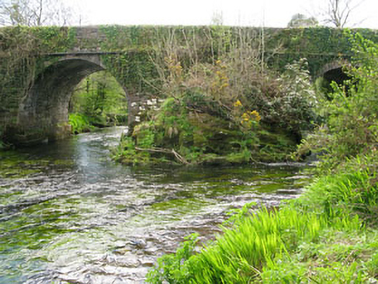 Lisheen Bridgebridge · 1754 yd
 Church in InchicloghChurch · 1.1 mi
 Kealkill stone circleVisitor information · 1.8 mi
 Castle (in Ruins)House, fortified house · 2.0 mi
 Carriganass CastleCastle · 2.2 mi
 Ballylickey BayBay · 2.2 mi
 Snave StrandBeach / strand · 2.4 mi
 Daly's LoopWalking route · 2.4 mi
 Bulls PocketMountain / peak · 2.5 mi
 Eagle PointHeadland · 2.8 mi